Hanover night lights from space
Night Light of Hanover (New Hampshire) from space (United States) Src. Average luminocity for 10x10km area is 17.0515% and for 50x50km: 1.503%.
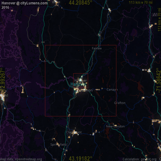
Analysis of Hanover night lights 2016
Square area 10x10 km:
 1.21%
1.21%90-99
1.36%80-89
3.94%70-79
0.76%60-69
0.61%50-59
3.33%40-49
2.12%30-39
2.58%20-29
5.15%10-19
20.91%0-9
58.03%Square area 50x50 km:
0.08%90-99
0.12%80-89
0.27%70-79
0.14%60-69
0.14%50-59
0.34%40-49
0.23%30-39
0.3%20-29
0.3%10-19
1.17%0-9
96.91%Clear (daylight) street map image can be seen on geolist.org.
Map coordinates:
44° 12' 30.4" North, 72° 59' 33.6" West
43° 42' 8.2" North, 72° 17' 22.3" West
43° 11' 30.6" North, 71° 35' 11.1" West
Some cities around Hanover sort by population:
• Rutland
55.9 km =34.7 mi,  259°
259°
• Lebanon
7.3 km =4.5 mi,  155°
155°
• Claremont
36.5 km =22.7 mi,  187°
187°
• Hartford
6.1 km =3.8 mi,  220°
220°
• Barre
57.6 km =35.8 mi,  342°
342°
• Franklin
59.2 km =36.8 mi,  119°
119°
• Rockingham
59.5 km =37 mi,  195°
195°
• Northfield
63.6 km =39.5 mi, 118°
5087168 (p: 8,636)
Sources (retrieved 2019-11-25):
» Earth at Night: Flat Maps 2012, 2016