Rockingham night lights from space
Night Light of Rockingham (Vermont) from space (United States) Src. Average luminocity for 10x10km area is 0.8394% and for 50x50km: 1.0009%.
Analysis of Rockingham night lights 2016
Square area 10x10 km:
 0%
0%90-99
0%80-89
0%70-79
0%60-69
0.3%50-59
0.15%40-49
0%30-39
0.3%20-29
1.21%10-19
0%0-9
98.03%Square area 50x50 km:
0.03%90-99
0.12%80-89
0.08%70-79
0.08%60-69
0.21%50-59
0.13%40-49
0.24%30-39
0.21%20-29
0.47%10-19
0.16%0-9
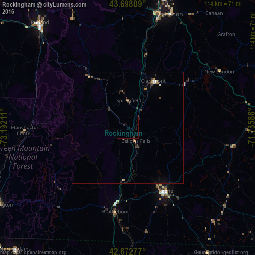
98.27%Clear (daylight) street map image can be seen on geolist.org.
Map coordinates:
43° 41' 53.1" North, 73° 11' 31.6" West
43° 11' 15.3" North, 72° 29' 20.3" West
42° 40' 22" North, 71° 47' 9.1" West
Some cities around Rockingham sort by population:
• Keene
33 km =20.5 mi,  148°
148°
• Rutland
61.1 km =38 mi,  320°
320°
• Lebanon
54.1 km =33.6 mi,  20°
20°
• Claremont
24 km =14.9 mi,  28°
28°
• Hartford
54 km =33.6 mi,  13°
13°
• Hanover
59.5 km =37 mi, 15°
• Brattleboro
37.8 km =23.5 mi,  188°
188°
• Swanzey
39.1 km =24.3 mi, 154°
5240399 (p: 5,198)
Sources (retrieved 2019-11-25):
» Earth at Night: Flat Maps 2012, 2016