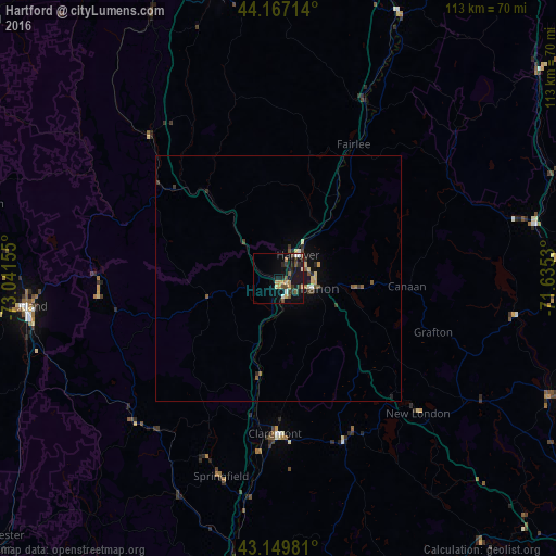
Hartford night lights from space
Night Light of Hartford (Vermont) from space (United States) Src. Average luminocity for 10x10km area is 16.7045% and for 50x50km: 1.5313%.
Analysis of Hartford night lights 2016
Square area 10x10 km:
 1.36%
1.36%90-99
1.21%80-89
2.42%70-79
1.97%60-69
1.82%50-59
3.18%40-49
2.88%30-39
3.48%20-29
2.42%10-19
19.39%0-9
59.85%Square area 50x50 km:
0.08%90-99
0.12%80-89
0.27%70-79
0.14%60-69
0.14%50-59
0.35%40-49
0.23%30-39
0.33%20-29
0.33%10-19
1.17%0-9
96.84%Clear (daylight) street map image can be seen on geolist.org.
Map coordinates:
44° 10' 1.7" North, 73° 2' 29.6" West
43° 39' 38.3" North, 72° 20' 18.3" West
43° 8' 59.3" North, 71° 38' 7.1" West
Some cities around Hartford sort by population:
• Rutland
51.3 km =31.9 mi,  263°
263°
• Lebanon
7.3 km =4.5 mi,  106°
106°
• Claremont
31.6 km =19.6 mi,  181°
181°
• Barre
61.1 km =38 mi,  347°
347°
• Hanover
6.1 km =3.8 mi,  40°
40°
• Franklin
60.7 km =37.7 mi, 113°
• Rockingham
54 km =33.6 mi,  193°
193°
• Northfield
65.2 km =40.5 mi, 112°
5236879 (p: 9,779)
Sources (retrieved 2019-11-25):
» Earth at Night: Flat Maps 2012, 2016