Lebanon night lights from space
Night Light of Lebanon (Missouri) from space (United States) Src. Average luminocity for 10x10km area is 37.8656% and for 50x50km: 2.3343%.
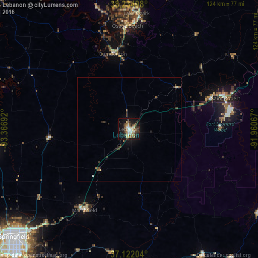
Analysis of Lebanon night lights 2016
Square area 10x10 km:
 4.93%
4.93%90-99
6.29%80-89
5.61%70-79
3.4%60-69
6.12%50-59
7.99%40-49
3.91%30-39
7.99%20-29
6.12%10-19
33.33%0-9
14.29%Square area 50x50 km:
0.2%90-99
0.3%80-89
0.27%70-79
0.19%60-69
0.38%50-59
0.38%40-49
0.36%30-39
0.63%20-29
0.39%10-19
2.07%0-9
94.84%Clear (daylight) street map image can be seen on geolist.org.
Map coordinates:
38° 14' 5.9" North, 93° 22' 0.9" West
37° 40' 50.2" North, 92° 39' 49.6" West
37° 7' 19.3" North, 91° 57' 38.4" West
Some cities around Lebanon sort by population:
• Springfield
76.2 km =47.3 mi,  227°
227°
• Rolla
84 km =52.2 mi,  68°
68°
• Ozark
87.6 km =54.4 mi,  213°
213°
• Fort Leonard Wood
44.7 km =27.8 mi,  86°
86°
• Bolivar
66.1 km =41.1 mi,  263°
263°
• Marshfield
43.7 km =27.2 mi, 209°
• Willard
79.3 km =49.3 mi,  238°
238°
• Waynesville
43.9 km =27.3 mi, 67°
4394794 (p: 14,688)
Sources (retrieved 2019-11-25):
» Earth at Night: Flat Maps 2012, 2016