Laughlin night lights from space
Night Light of Laughlin (Nevada) from space (United States) Src. Average luminocity for 10x10km area is 40.4563% and for 50x50km: 4.5396%.
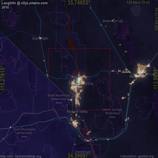
Analysis of Laughlin night lights 2016
Square area 10x10 km:
 3.15%
3.15%90-99
3.85%80-89
1.4%70-79
3.32%60-69
18.88%50-59
10.31%40-49
6.64%30-39
7.69%20-29
9.44%10-19
24.48%0-9
10.84%Square area 50x50 km:
0.19%90-99
0.39%80-89
0.15%70-79
0.35%60-69
1.77%50-59
1.25%40-49
0.82%30-39
0.63%20-29
1.07%10-19
3.98%0-9
89.41%Clear (daylight) street map image can be seen on geolist.org.
Map coordinates:
35° 44' 25.9" North, 115° 16' 34.1" West
35° 10' 4" North, 114° 34' 22.9" West
34° 35' 27.5" North, 113° 52' 11.6" West
Some cities around Laughlin sort by population:
• Henderson
103.8 km =64.5 mi,  339°
339°
• Lake Havasu City
79.4 km =49.3 mi,  163°
163°
• Bullhead City
2.3 km =1.4 mi,  169°
169°
• Whitney
111.6 km =69.3 mi, 337°
• Kingman
47.3 km =29.4 mi,  87°
87°
• Boulder City
93.2 km =57.9 mi,  345°
345°
• New Kingman-Butler
50.3 km =31.3 mi,  77°
77°
• Golden Valley
32.4 km =20.1 mi, 79°
5507016 (p: 7,323)
Sources (retrieved 2019-11-25):
» Earth at Night: Flat Maps 2012, 2016