Kingman night lights from space
Night Light of Kingman (Arizona) from space (United States) Src. Average luminocity for 10x10km area is 32.9091% and for 50x50km: 3.6146%.
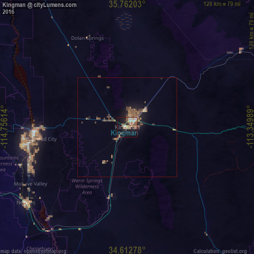
Analysis of Kingman night lights 2016
Square area 10x10 km:
 3.5%
3.5%90-99
5.94%80-89
2.27%70-79
2.62%60-69
8.74%50-59
9.44%40-49
4.55%30-39
0.87%20-29
4.2%10-19
27.1%0-9
30.77%Square area 50x50 km:
0.16%90-99
0.27%80-89
0.2%70-79
0.34%60-69
0.92%50-59
1.25%40-49
0.67%30-39
0.78%20-29
0.59%10-19
2.73%0-9
92.09%Clear (daylight) street map image can be seen on geolist.org.
Map coordinates:
35° 45' 43.3" North, 114° 45' 22.1" West
35° 11' 22" North, 114° 3' 10.8" West
34° 36' 46" North, 113° 20' 59.6" West
Some cities around Kingman sort by population:
• Henderson
126.4 km =78.5 mi,  318°
318°
• Lake Havasu City
82.2 km =51.1 mi,  197°
197°
• Bullhead City
47.1 km =29.3 mi,  264°
264°
• Whitney
134.6 km =83.6 mi, 318°
• Boulder City
112.5 km =69.9 mi, 321°
• New Kingman-Butler
8.6 km =5.3 mi,  12°
12°
• Golden Valley
15.9 km =9.9 mi,  283°
283°
• Laughlin
47.3 km =29.4 mi,  267°
267°
5301067 (p: 28,912)
Sources (retrieved 2019-11-25):
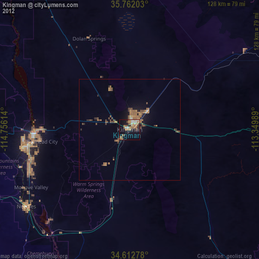
» Earth at Night: Flat Maps 2012, 2016