Bullhead City night lights from space
Night Light of Bullhead City (Arizona) from space (United States) Src. Average luminocity for 10x10km area is 47.6066% and for 50x50km: 4.5756%.
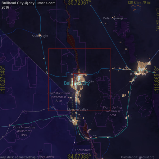
Analysis of Bullhead City night lights 2016
Square area 10x10 km:
 3.67%
3.67%90-99
6.47%80-89
1.22%70-79
3.32%60-69
23.08%50-59
13.64%40-49
8.04%30-39
6.99%20-29
10.31%10-19
22.03%0-9
1.22%Square area 50x50 km:
0.19%90-99
0.39%80-89
0.15%70-79
0.35%60-69
1.77%50-59
1.25%40-49
0.85%30-39
0.66%20-29
1.07%10-19
3.98%0-9
89.35%Clear (daylight) street map image can be seen on geolist.org.
Map coordinates:
35° 43' 14.4" North, 115° 16' 17.1" West
35° 8' 52" North, 114° 34' 5.9" West
34° 34' 15" North, 113° 51' 54.6" West
Some cities around Bullhead City sort by population:
• Henderson
106 km =65.9 mi,  339°
339°
• Lake Havasu City
77.2 km =48 mi,  163°
163°
• Whitney
113.8 km =70.7 mi, 338°
• Kingman
47.1 km =29.3 mi,  84°
84°
• Boulder City
95.4 km =59.3 mi,  345°
345°
• New Kingman-Butler
50.4 km =31.3 mi, 75°
• Golden Valley
32.5 km =20.2 mi, 75°
• Laughlin
2.3 km =1.4 mi, 349°
5287565 (p: 39,445)
Sources (retrieved 2019-11-25):
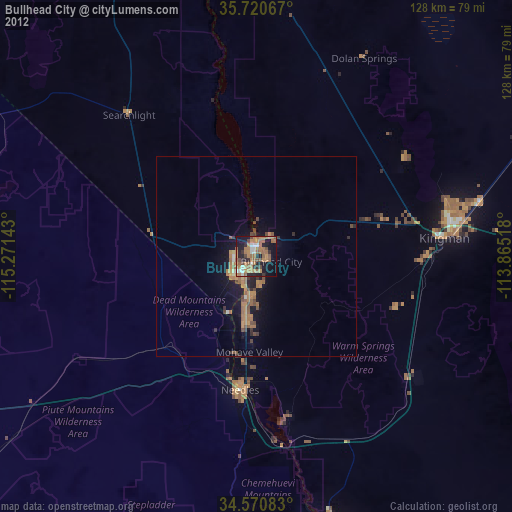
» Earth at Night: Flat Maps 2012, 2016