Enchanted Hills night lights from space
Night Light of Enchanted Hills (New Mexico) from space (United States) Src. Average luminocity for 10x10km area is 36.4597% and for 50x50km: 15.6418%.
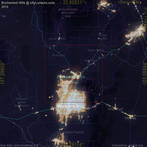
Analysis of Enchanted Hills night lights 2016
Square area 10x10 km:
 2.93%
2.93%90-99
2.93%80-89
1.47%70-79
11.17%60-69
10.99%50-59
4.03%40-49
4.76%30-39
4.76%20-29
13.19%10-19
25.09%0-9
18.68%Square area 50x50 km:
2.15%90-99
2.7%80-89
2.12%70-79
4.91%60-69
2.31%50-59
1.2%40-49
1.51%30-39
1.56%20-29
3.41%10-19
5.47%0-9
72.66%Clear (daylight) street map image can be seen on geolist.org.
Map coordinates:
35° 54' 29.9" North, 107° 17' 45.9" West
35° 20' 12.3" North, 106° 35' 34.7" West
34° 45' 40.1" North, 105° 53' 23.4" West
Some cities around Enchanted Hills sort by population:
• Albuquerque
28.5 km =17.7 mi,  190°
190°
• Rio Rancho
13.2 km =8.2 mi,  209°
209°
• South Valley
37.1 km =23.1 mi, 192°
• North Valley
18.4 km =11.4 mi, 188°
• Bernalillo
5.6 km =3.5 mi,  137°
137°
• Corrales
11.1 km =6.9 mi, 186°
• Los Ranchos de Albuquerque
20 km =12.4 mi, 193°
• Lee Acres
21.5 km =13.4 mi, 193°
7839240 (p: 87,521)
Sources (retrieved 2019-11-25):
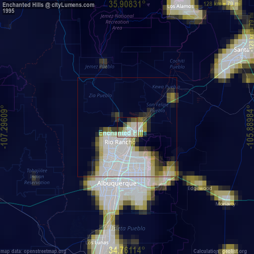
» NASA, Earths city lights 1995
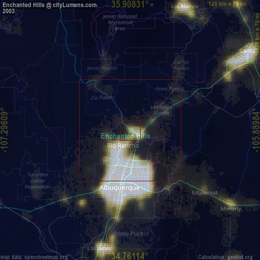
» NASA city lights 2003
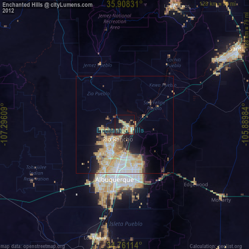
» Earth at Night: Flat Maps 2012, 2016