Greater Northdale night lights from space
Night Light of Greater Northdale (Florida) from space (United States) Src. Average luminocity for 10x10km area is 80.9318% and for 50x50km: 70.0556%.
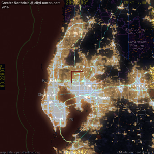
Analysis of Greater Northdale night lights 2016
Square area 10x10 km:
 11.36%
90-99
18.75%80-89
17.99%70-79
28.41%60-69
20.08%50-59
3.41%40-49
0%30-39
0%20-29
0%10-19
0%0-9
0%Square area 50x50 km:
19.96%90-99
15.48%80-89
7.86%70-79
10.28%60-69
17%50-59
6.43%40-49
4.94%30-39
4.52%20-29
6.74%10-19
5.49%0-9
1.31%Clear (daylight) street map image can be seen on geolist.org.
Map coordinates:
28° 43' 25.9" North, 83° 13' 44.7" West
28° 6' 19.6" North, 82° 31' 33.4" West
27° 29' 0.4" North, 81° 49' 22.2" West
Some cities around Greater Northdale sort by population:
• University
9.2 km =5.7 mi,  112°
112°
• Carrollwood Village
4.2 km =2.6 mi,  173°
173°
• Carrollwood
7 km =4.3 mi,  152°
152°
• Lake Magdalene
6.4 km =4 mi,  123°
123°
• Citrus Park
5.3 km =3.3 mi,  235°
235°
• Northdale
2.4 km =1.5 mi, 122°
• Lutz
8.1 km =5 mi,  51°
51°
• Cheval
4.9 km =3 mi,  13°
13°
7259823 (p: 22,079)
Sources (retrieved 2019-11-25):
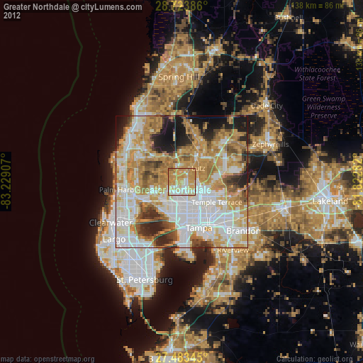
» Earth at Night: Flat Maps 2012, 2016