Killeen night lights from space
Night Light of Killeen (Texas) from space (United States) Src. Average luminocity for 10x10km area is 82.3974% and for 50x50km: 14.779%.
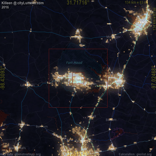
Analysis of Killeen night lights 2016
Square area 10x10 km:
 25.27%
90-99
25.09%80-89
13.37%70-79
12.82%60-69
12.64%50-59
1.65%40-49
2.75%30-39
2.93%20-29
2.56%10-19
0.92%0-9
0%Square area 50x50 km:
1.85%90-99
2.05%80-89
1.91%70-79
1.81%60-69
2.68%50-59
2.25%40-49
2.43%30-39
2.56%20-29
4.32%10-19
8.76%0-9
69.37%Clear (daylight) street map image can be seen on geolist.org.
Map coordinates:
31° 43' 1.8" North, 98° 25' 51.3" West
31° 7' 1.6" North, 97° 43' 40.1" West
30° 30' 47.7" North, 97° 1' 28.8" West
Some cities around Killeen sort by population:
• Temple
36.7 km =22.8 mi,  93°
93°
• Copperas Cove
16.7 km =10.4 mi,  272°
272°
• Fort Hood
5 km =3.1 mi,  293°
293°
• Harker Heights
7.5 km =4.7 mi,  119°
119°
• Belton
26 km =16.2 mi,  105°
105°
• Gatesville
35.4 km =22 mi,  357°
357°
• Lampasas
43.6 km =27.1 mi,  262°
262°
• McGregor
47.3 km =29.4 mi,  39°
39°
4703223 (p: 140,806)
Sources (retrieved 2019-11-25):
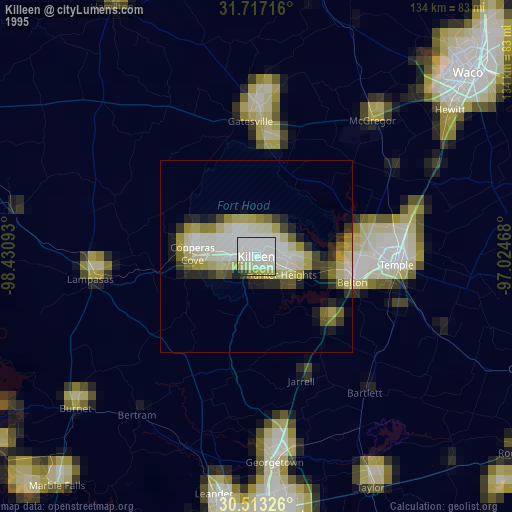
» NASA, Earths city lights 1995
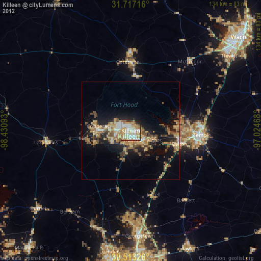
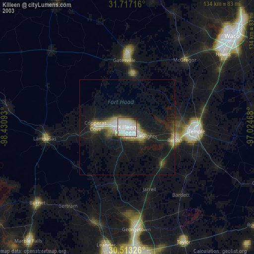
» NASA city lights 2003
» Earth at Night: Flat Maps 2012, 2016