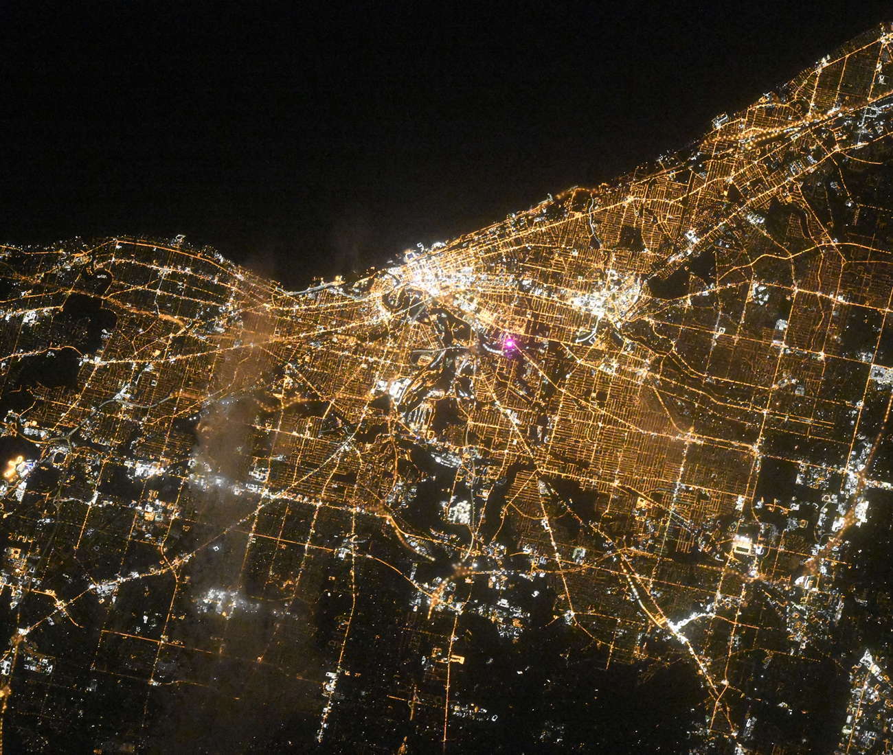
Cleveland night lights from space
Night Light of Cleveland (Ohio) from space (United States) Src. Average luminocity for 10x10km area is 78.3895% and for 50x50km: 50.874%.
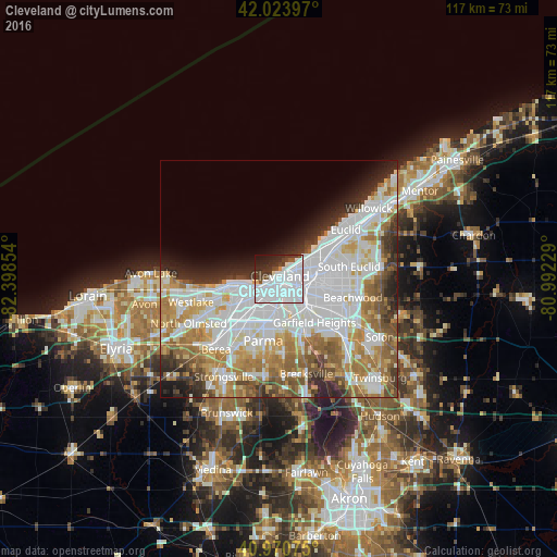
Analysis of Cleveland night lights 2016
Square area 10x10 km:
 49.83%
90-99
18.03%80-89
0.85%70-79
0.68%60-69
0%50-59
2.55%40-49
5.78%30-39
7.82%20-29
9.52%10-19
4.93%0-9
0%Square area 50x50 km:
18.2%90-99
12.23%80-89
4.57%70-79
5.48%60-69
7.77%50-59
4.82%40-49
3.75%30-39
3.81%20-29
5.6%10-19
4.66%0-9
29.12%Clear (daylight) street map image can be seen on geolist.org.
Map coordinates:
42° 1' 26.3" North, 82° 23' 54.7" West
41° 29' 58.2" North, 81° 41' 43.5" West
40° 58' 14.7" North, 80° 59' 32.2" West
Fantastic image of Cleveland from space taken by astronauts [src2], but I don't have information about it's orientation, scale or angle. If necessary, it was rotated manually, so North points approximately to upper direction. Click to zoom in:
Some cities around Cleveland sort by population:
• Parma
10.8 km =6.7 mi,  192°
192°
• Lakewood
8.8 km =5.5 mi,  257°
257°
• Glenville
7.5 km =4.7 mi,  59°
59°
• Clark-Fulton
4.1 km =2.5 mi,  196°
196°
• Detroit-Shoreway
3.8 km =2.4 mi,  229°
229°
• East Cleveland
10.4 km =6.5 mi,  68°
68°
• Hough
5.1 km =3.2 mi, 74°
• Brooklyn
7.4 km =4.6 mi,  206°
206°
5150529 (p: 388,072)
Sources (retrieved 2019-11-25):
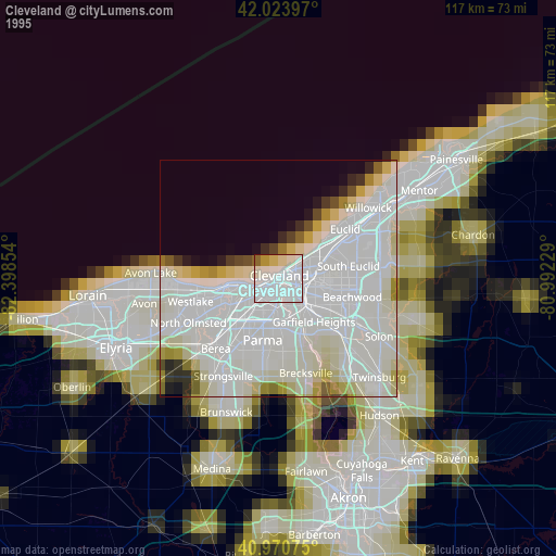
» NASA, Earths city lights 1995
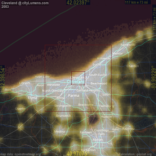
» NASA city lights 2003
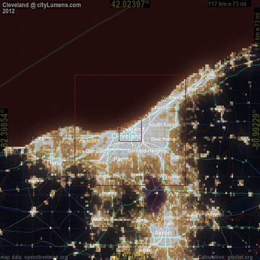
» Earth at Night: Flat Maps 2012, 2016
Src.2: picture by Oleg Kononenko,ĀRoscosmos, retrieved 2019-11-29