Hastings night lights from space
Night Light of Hastings (Minnesota) from space (United States) Src. Average luminocity for 10x10km area is 28.6106% and for 50x50km: 19.9371%.
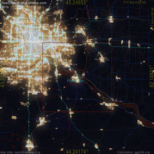
Analysis of Hastings night lights 2016
Square area 10x10 km:
 2.42%
2.42%90-99
4.85%80-89
2.73%70-79
4.39%60-69
5.91%50-59
2.12%40-49
6.06%30-39
1.52%20-29
4.24%10-19
37.42%0-9
28.33%Square area 50x50 km:
4.09%90-99
3.2%80-89
1.91%70-79
2.27%60-69
4.32%50-59
3.43%40-49
2.81%30-39
1.96%20-29
3.58%10-19
7.63%0-9
64.81%Clear (daylight) street map image can be seen on geolist.org.
Map coordinates:
45° 14' 26" North, 93° 33' 20" West
44° 44' 35.9" North, 92° 51' 8.7" West
44° 14' 30.3" North, 92° 8' 57.5" West
Some cities around Hastings sort by population:
• Woodbury
21.8 km =13.5 mi,  337°
337°
• Cottage Grove
11.8 km =7.3 mi,  322°
322°
• Inver Grove Heights
19 km =11.8 mi,  307°
307°
• Rosemount
21.6 km =13.4 mi,  268°
268°
• Farmington
25.7 km =16 mi,  243°
243°
• South Saint Paul
22 km =13.7 mi, 319°
• River Falls
22.3 km =13.9 mi,  53°
53°
• Saint Paul Park
15.5 km =9.6 mi, 315°
5029500 (p: 22,554)
Sources (retrieved 2019-11-25):
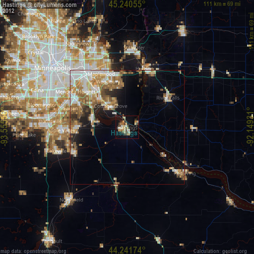
» Earth at Night: Flat Maps 2012, 2016