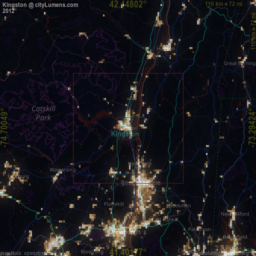
Kingston night lights from space
Night Light of Kingston (New York) from space (United States) Src. Average luminocity for 10x10km area is 37.8762% and for 50x50km: 6.2391%.
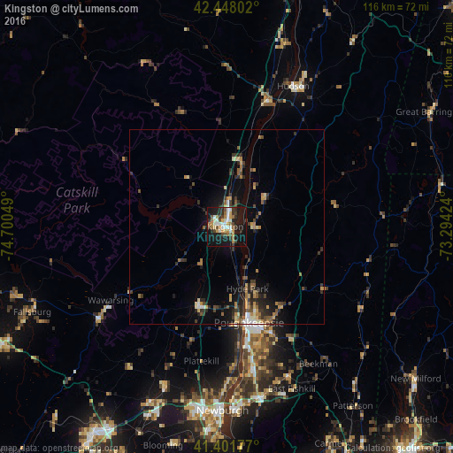
Analysis of Kingston night lights 2016
Square area 10x10 km:
 4.76%
4.76%90-99
7.94%80-89
3.81%70-79
5.08%60-69
6.51%50-59
1.9%40-49
6.67%30-39
5.71%20-29
9.84%10-19
39.37%0-9
8.41%Square area 50x50 km:
0.43%90-99
0.63%80-89
0.74%70-79
0.92%60-69
1.02%50-59
0.67%40-49
1.03%30-39
1.34%20-29
2.11%10-19
4.35%0-9
86.76%Clear (daylight) street map image can be seen on geolist.org.
Map coordinates:
42° 26' 52.9" North, 74° 42' 1.8" West
41° 55' 37.3" North, 73° 59' 50.5" West
41° 24' 6.4" North, 73° 17' 39.3" West
Some cities around Kingston sort by population:
• Poughkeepsie
26 km =16.2 mi,  165°
165°
• Wawarsing
35.2 km =21.9 mi,  237°
237°
• New Paltz
21.3 km =13.2 mi,  200°
200°
• Myers Corner
37.1 km =23.1 mi,  163°
163°
• Highland
23.1 km =14.4 mi, 172°
• Wappingers Falls
37.4 km =23.2 mi, 168°
• Marbletown
10.7 km =6.6 mi, 243°
• Fairview
23.5 km =14.6 mi, 164°
5123477 (p: 23,436)
Sources (retrieved 2019-11-25):
» Earth at Night: Flat Maps 2012, 2016