Poughkeepsie night lights from space
Night Light of Poughkeepsie (New York) from space (United States) Src. Average luminocity for 10x10km area is 61.1623% and for 50x50km: 15.1269%.
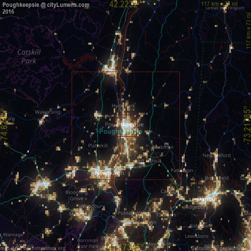
Analysis of Poughkeepsie night lights 2016
Square area 10x10 km:
 11.69%
90-99
13.47%80-89
8.77%70-79
7.31%60-69
9.25%50-59
8.12%40-49
10.23%30-39
12.01%20-29
15.42%10-19
3.73%0-9
0%Square area 50x50 km:
1.56%90-99
1.72%80-89
2.04%70-79
1.97%60-69
2.05%50-59
2.2%40-49
2.92%30-39
3.49%20-29
5.45%10-19
9.61%0-9
66.99%Clear (daylight) street map image can be seen on geolist.org.
Map coordinates:
42° 13' 23.5" North, 74° 37' 26.8" West
41° 42' 1.3" North, 73° 55' 15.5" West
41° 10' 23.7" North, 73° 13' 4.3" West
Some cities around Poughkeepsie sort by population:
• Newburgh
23.1 km =14.4 mi,  198°
198°
• Beacon
22.1 km =13.7 mi,  190°
190°
• New Paltz
14.7 km =9.1 mi,  290°
290°
• Orange Lake
23.1 km =14.4 mi,  219°
219°
• Myers Corner
11.2 km =7 mi,  159°
159°
• Highland
4 km =2.5 mi,  305°
305°
• Wappingers Falls
11.6 km =7.2 mi,  175°
175°
• Fairview
2.6 km =1.6 mi,  2°
2°
5132143 (p: 30,371)
Sources (retrieved 2019-11-25):
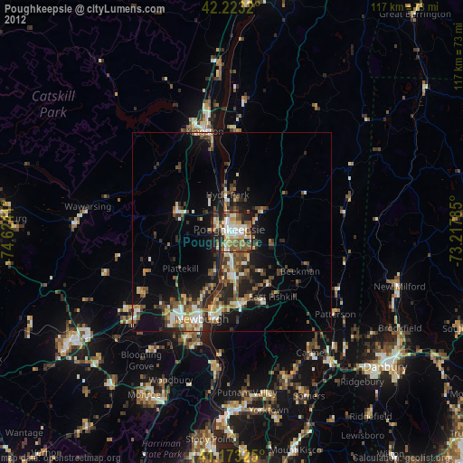
» Earth at Night: Flat Maps 2012, 2016