Keyser night lights from space
Night Light of Keyser (West Virginia) from space (United States) Src. Average luminocity for 10x10km area is 13.3724% and for 50x50km: 4.6041%.
Analysis of Keyser night lights 2016
Square area 10x10 km:
 1.19%
1.19%90-99
1.53%80-89
3.4%70-79
1.36%60-69
1.53%50-59
2.38%40-49
0.85%30-39
0.51%20-29
2.38%10-19
2.21%0-9
82.65%Square area 50x50 km:
0.5%90-99
0.41%80-89
0.84%70-79
0.45%60-69
0.37%50-59
1.01%40-49
0.77%30-39
0.75%20-29
1.26%10-19
2.71%0-9
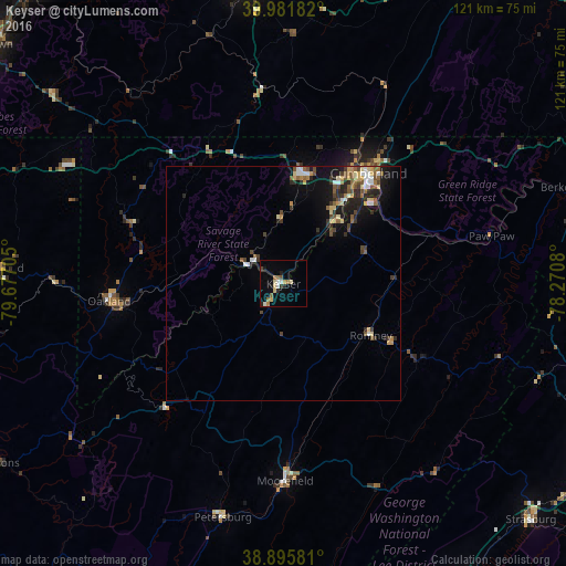
90.93%Clear (daylight) street map image can be seen on geolist.org.
Map coordinates:
39° 58' 54.6" North, 79° 40' 37.4" West
39° 26' 27.3" North, 78° 58' 26.1" West
38° 53' 44.9" North, 78° 16' 14.9" West
Some cities around Keyser sort by population:
• Winchester
75.3 km =46.8 mi,  112°
112°
• Cumberland
29.7 km =18.5 mi,  37°
37°
• Uniontown
81.5 km =50.6 mi,  308°
308°
• Frostburg
24.5 km =15.2 mi,  9°
9°
• Cheat Lake
79.7 km =49.5 mi,  288°
288°
• Strasburg
73.1 km =45.4 mi,  133°
133°
• Somerset
63.7 km =39.6 mi,  351°
351°
• Woodstock
74.1 km =46 mi,  147°
147°
4810884 (p: 5,248)
Sources (retrieved 2019-11-25):
» Earth at Night: Flat Maps 2012, 2016