Alton night lights from space
Night Light of Alton (Illinois) from space (United States) Src. Average luminocity for 10x10km area is 55.7772% and for 50x50km: 38.0934%.
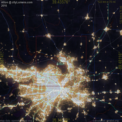
Analysis of Alton night lights 2016
Square area 10x10 km:
 12.76%
90-99
13.1%80-89
7.48%70-79
4.59%60-69
7.31%50-59
6.63%40-49
4.25%30-39
7.65%20-29
25.85%10-19
10.37%0-9
0%Square area 50x50 km:
8.66%90-99
8.99%80-89
5.36%70-79
4.59%60-69
5.99%50-59
5.62%40-49
3.92%30-39
3.46%20-29
5.78%10-19
6.14%0-9
41.49%Clear (daylight) street map image can be seen on geolist.org.
Map coordinates:
39° 26' 8.7" North, 90° 53' 14.7" West
38° 53' 26.2" North, 90° 11' 3.4" West
38° 20' 28.4" North, 89° 28' 52.2" West
Some cities around Alton sort by population:
• Upper Alton
3.7 km =2.3 mi,  51°
51°
• Spanish Lake
11.8 km =7.3 mi,  193°
193°
• Old Jamestown
10.7 km =6.6 mi,  234°
234°
• Godfrey
7.2 km =4.5 mi,  358°
358°
• Wood River
8.2 km =5.1 mi,  113°
113°
• Bethalto
12.6 km =7.8 mi,  80°
80°
• Black Jack
13 km =8.1 mi,  213°
213°
• East Alton
6.4 km =4 mi,  100°
100°
4232679 (p: 27,003)
Sources (retrieved 2019-11-25):
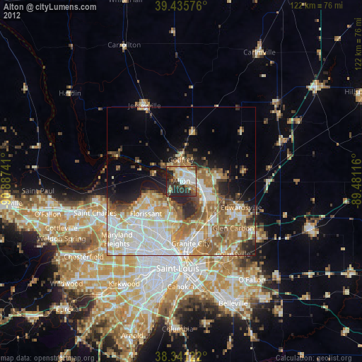
» Earth at Night: Flat Maps 2012, 2016