Jackson night lights from space
Night Light of Jackson (Michigan) from space (United States) Src. Average luminocity for 10x10km area is 63.4197% and for 50x50km: 6.0386%.
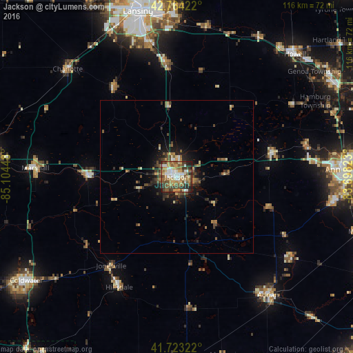
Analysis of Jackson night lights 2016
Square area 10x10 km:
 8.48%
8.48%90-99
13.64%80-89
8.94%70-79
11.06%60-69
11.52%50-59
13.33%40-49
11.97%30-39
9.09%20-29
10%10-19
1.97%0-9
0%Square area 50x50 km:
0.44%90-99
0.75%80-89
0.75%70-79
0.74%60-69
0.94%50-59
1.21%40-49
1.43%30-39
1%20-29
1.94%10-19
3.05%0-9
87.75%Clear (daylight) street map image can be seen on geolist.org.
Map coordinates:
42° 45' 51.2" North, 85° 6' 16.1" West
42° 14' 45.1" North, 84° 24' 4.9" West
41° 43' 23.6" North, 83° 41' 53.6" West
Some cities around Jackson sort by population:
• Holt
44.9 km =27.9 mi,  347°
347°
• Mason
37.2 km =23.1 mi, 354°
• Tecumseh
46.3 km =28.8 mi,  125°
125°
• Albion
28.9 km =18 mi,  269°
269°
• Hillsdale
40.9 km =25.4 mi,  207°
207°
• Marshall
46.3 km =28.8 mi, 273°
• Eaton Rapids
36 km =22.4 mi,  324°
324°
• Chelsea
32.2 km =20 mi,  75°
75°
4997384 (p: 33,133)
Sources (retrieved 2019-11-25):
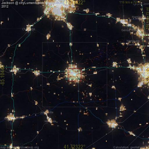
» Earth at Night: Flat Maps 2012, 2016