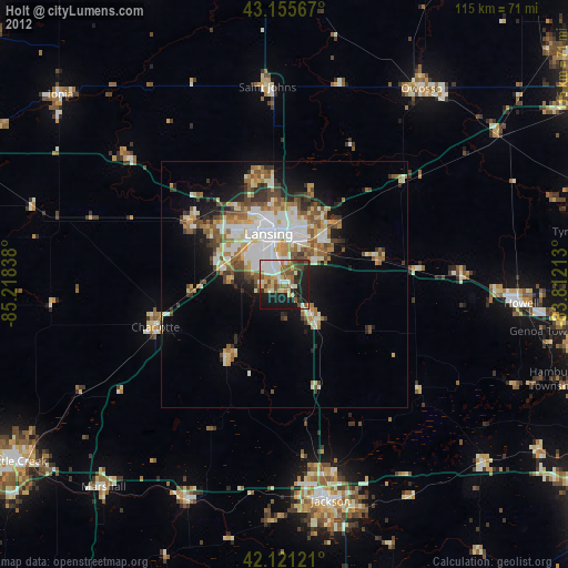
Holt night lights from space
Night Light of Holt (Michigan) from space (United States) Src. Average luminocity for 10x10km area is 48.5712% and for 50x50km: 16.8753%.
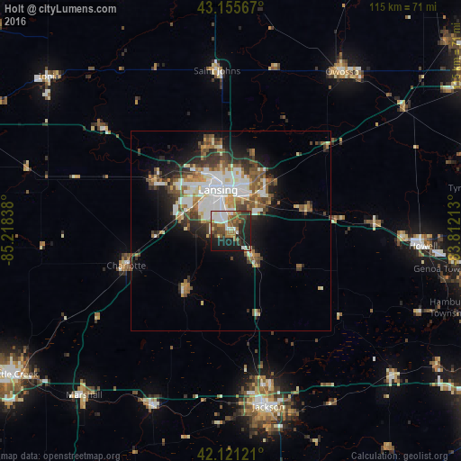
Analysis of Holt night lights 2016
Square area 10x10 km:
 9.55%
9.55%90-99
11.36%80-89
1.06%70-79
4.09%60-69
9.55%50-59
9.09%40-49
8.03%30-39
6.52%20-29
14.55%10-19
24.09%0-9
2.12%Square area 50x50 km:
3.53%90-99
3.46%80-89
1.48%70-79
1.59%60-69
2.17%50-59
2.7%40-49
2.67%30-39
2.49%20-29
3.49%10-19
6.61%0-9
69.81%Clear (daylight) street map image can be seen on geolist.org.
Map coordinates:
43° 9' 20.4" North, 85° 13' 6.2" West
42° 38' 26.1" North, 84° 30' 54.9" West
42° 7' 16.4" North, 83° 48' 43.7" West
Some cities around Holt sort by population:
• Lansing
10.7 km =6.6 mi,  342°
342°
• East Lansing
11 km =6.8 mi,  13°
13°
• Waverly
14 km =8.7 mi,  321°
321°
• Okemos
11.6 km =7.2 mi,  38°
38°
• Haslett
15.1 km =9.4 mi, 38°
• Mason
9 km =5.6 mi,  139°
139°
• Grand Ledge
22.7 km =14.1 mi,  303°
303°
• Eaton Rapids
18.6 km =11.6 mi,  218°
218°
4996306 (p: 23,973)
Sources (retrieved 2019-11-25):
» Earth at Night: Flat Maps 2012, 2016