Isla Vista night lights from space
Night Light of Isla Vista (California) from space (United States) Src. Average luminocity for 10x10km area is 35.5577% and for 50x50km: 5.0074%.
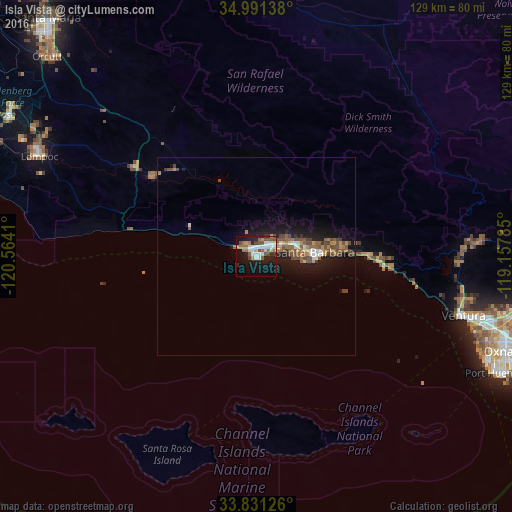
Analysis of Isla Vista night lights 2016
Square area 10x10 km:
 7.17%
7.17%90-99
7.17%80-89
2.45%70-79
2.97%60-69
5.77%50-59
5.07%40-49
6.82%30-39
2.27%20-29
4.72%10-19
30.42%0-9
25.17%Square area 50x50 km:
0.51%90-99
0.55%80-89
0.25%70-79
0.48%60-69
0.9%50-59
1.09%40-49
1.56%30-39
0.48%20-29
0.74%10-19
5.32%0-9
88.13%Clear (daylight) street map image can be seen on geolist.org.
Map coordinates:
34° 59' 29" North, 120° 33' 50.8" West
34° 24' 48" North, 119° 51' 39.5" West
33° 49' 52.5" North, 119° 9' 28.3" West
Some cities around Isla Vista sort by population:
• Ventura
54.2 km =33.7 mi,  106°
106°
• Santa Barbara
15 km =9.3 mi,  86°
86°
• Goleta
4 km =2.5 mi,  50°
50°
• Carpinteria
31.5 km =19.6 mi, 92°
• Montecito
21.2 km =13.2 mi,  82°
82°
• Mira Monte
52.9 km =32.9 mi, 87°
• Solvang
32.5 km =20.2 mi,  308°
308°
• Buellton
37.7 km =23.4 mi, 306°
5359864 (p: 23,096)
Sources (retrieved 2019-11-25):
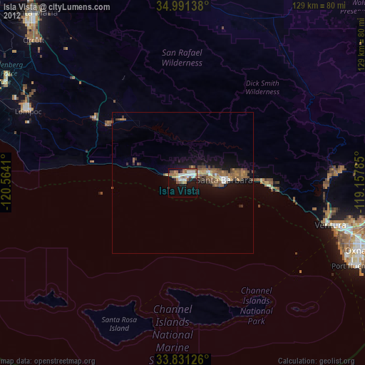
» Earth at Night: Flat Maps 2012, 2016