Far Rockaway night lights from space
Night Light of Far Rockaway (New York) from space (United States) Src. Average luminocity for 10x10km area is 69.1997% and for 50x50km: 52.4512%.
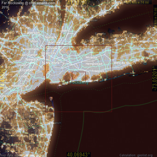
Analysis of Far Rockaway night lights 2016
Square area 10x10 km:
 23.7%
23.7%90-99
17.86%80-89
6.98%70-79
8.12%60-69
7.14%50-59
8.77%40-49
1.95%30-39
2.76%20-29
17.05%10-19
5.68%0-9
0%Square area 50x50 km:
30.98%90-99
11.01%80-89
2.95%70-79
2.84%60-69
3.01%50-59
1.85%40-49
1.86%30-39
1.83%20-29
2.95%10-19
4.75%0-9
35.99%Clear (daylight) street map image can be seen on geolist.org.
Map coordinates:
41° 8' 13.5" North, 74° 27' 29.7" West
40° 36' 19.4" North, 73° 45' 18.5" West
40° 4' 9.9" North, 73° 3' 7.2" West
Some cities around Far Rockaway sort by population:
• Springfield Gardens
6.4 km =4 mi,  354°
354°
• Rosedale
6.5 km =4 mi,  14°
14°
• Woodmere
4.7 km =2.9 mi,  50°
50°
• Arverne
3.8 km =2.4 mi,  245°
245°
• Inwood
2 km =1.2 mi,  20°
20°
• Edgemere
1.5 km =0.9 mi,  226°
226°
• Cedarhurst
3.2 km =2 mi, 53°
• Lawrence
2.4 km =1.5 mi,  62°
62°
5116917 (p: 39,189)
Sources (retrieved 2019-11-25):
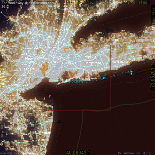
» Earth at Night: Flat Maps 2012, 2016