Independence night lights from space
Night Light of Independence (Kentucky) from space (United States) Src. Average luminocity for 10x10km area is 51.1705% and for 50x50km: 34.4126%.
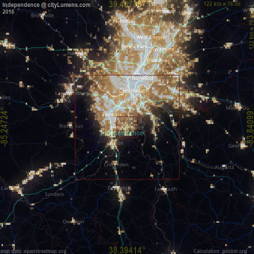
Analysis of Independence night lights 2016
Square area 10x10 km:
 0.97%
0.97%90-99
4.38%80-89
9.9%70-79
7.47%60-69
11.85%50-59
23.38%40-49
11.04%30-39
7.31%20-29
11.2%10-19
9.74%0-9
2.76%Square area 50x50 km:
7.07%90-99
6.94%80-89
4.29%70-79
5.64%60-69
6.78%50-59
6.03%40-49
2.87%30-39
2.62%20-29
4.82%10-19
7.95%0-9
44.99%Clear (daylight) street map image can be seen on geolist.org.
Map coordinates:
39° 29' 16.4" North, 85° 14' 50.1" West
38° 56' 35.2" North, 84° 32' 38.8" West
38° 23' 38.9" North, 83° 50' 27.6" West
Some cities around Independence sort by population:
• Florence
9.5 km =5.9 mi,  311°
311°
• Erlanger
9.5 km =5.9 mi,  329°
329°
• Edgewood
9 km =5.6 mi,  338°
338°
• Elsmere
9.3 km =5.8 mi, 325°
• Taylor Mill
7.3 km =4.5 mi,  34°
34°
• Cold Spring
12.5 km =7.8 mi,  45°
45°
• Union
11.8 km =7.3 mi,  271°
271°
• Fort Wright
12.1 km =7.5 mi,  4°
4°
4295776 (p: 26,819)
Sources (retrieved 2019-11-25):
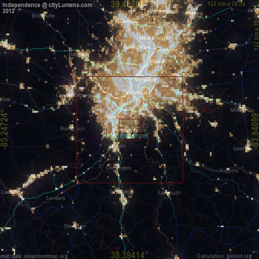
» Earth at Night: Flat Maps 2012, 2016