Imperial Beach night lights from space
Night Light of Imperial Beach (California) from space (United States) Src. Average luminocity for 10x10km area is 53.8619% and for 50x50km: 41.1833%.
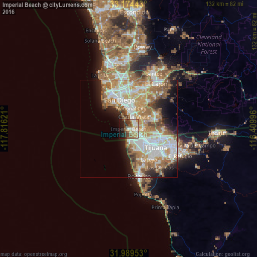
Analysis of Imperial Beach night lights 2016
Square area 10x10 km:
 9.09%
9.09%90-99
12.06%80-89
5.59%70-79
8.04%60-69
10.84%50-59
8.57%40-49
7.87%30-39
8.57%20-29
6.12%10-19
17.48%0-9
5.77%Square area 50x50 km:
9.79%90-99
9.8%80-89
4.46%70-79
6.51%60-69
8.73%50-59
5.16%40-49
3.58%30-39
2.37%20-29
4.01%10-19
7.34%0-9
38.25%Clear (daylight) street map image can be seen on geolist.org.
Map coordinates:
33° 10' 27.9" North, 117° 48' 58.4" West
32° 35' 2.2" North, 117° 6' 47.1" West
31° 59' 22.3" North, 116° 24' 35.9" West
Some cities around Imperial Beach sort by population:
• San Diego
15.4 km =9.6 mi,  341°
341°
• Tijuana, MX
13.7 km =8.5 mi,  131°
131°
• Chula Vista
6.8 km =4.2 mi,  23°
23°
• National City
10.6 km =6.6 mi,  7°
7°
• Pórticos de San Antonio, MX
17.4 km =10.8 mi,  154°
154°
• Coronado
13.1 km =8.1 mi,  329°
329°
• Bonita
11.3 km =7 mi,  43°
43°
• Quinta del Cedro, MX
16.9 km =10.5 mi,  164°
164°
5359054 (p: 27,408)
Sources (retrieved 2019-11-25):
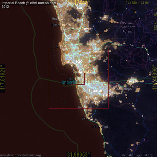
» Earth at Night: Flat Maps 2012, 2016