Hyde Park night lights from space
Night Light of Hyde Park (Illinois) from space (United States) Src. Average luminocity for 10x10km area is 82.1185% and for 50x50km: 62.0204%.
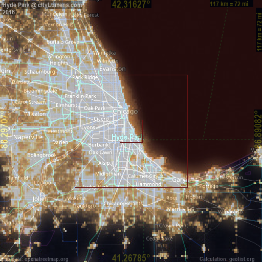
Analysis of Hyde Park night lights 2016
Square area 10x10 km:
 54.06%
90-99
14.45%80-89
0%70-79
0.32%60-69
3.73%50-59
7.31%40-49
8.93%30-39
6.66%20-29
2.27%10-19
2.27%0-9
0%Square area 50x50 km:
39.54%90-99
13.22%80-89
3.29%70-79
2.31%60-69
2.34%50-59
1.7%40-49
1.92%30-39
1.86%20-29
2.1%10-19
2.88%0-9
28.82%Clear (daylight) street map image can be seen on geolist.org.
Map coordinates:
42° 18' 58.6" North, 88° 17' 49.5" West
41° 47' 39.1" North, 87° 35' 38.2" West
41° 16' 4.3" North, 86° 53' 27" West
Some cities around Hyde Park sort by population:
• South Shore
3.8 km =2.4 mi,  159°
159°
• New City
5.4 km =3.4 mi,  285°
285°
• Greater Grand Crossing
4.1 km =2.5 mi,  205°
205°
• Englewood
4.6 km =2.9 mi,  249°
249°
• Woodlawn
1.7 km =1.1 mi,  195°
195°
• Grand Boulevard
2.9 km =1.8 mi,  318°
318°
• Douglas
4.9 km =3 mi,  336°
336°
• Kenwood
1.7 km =1.1 mi,  349°
349°
4896728 (p: 26,893)
Sources (retrieved 2019-11-25):
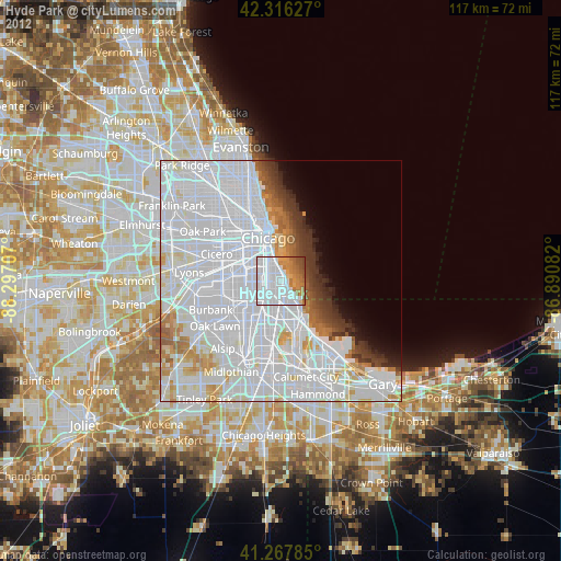
» Earth at Night: Flat Maps 2012, 2016