Old Town night lights from space
Night Light of Old Town (Maine) from space (United States) Src. Average luminocity for 10x10km area is 15.2302% and for 50x50km: 4.2095%.
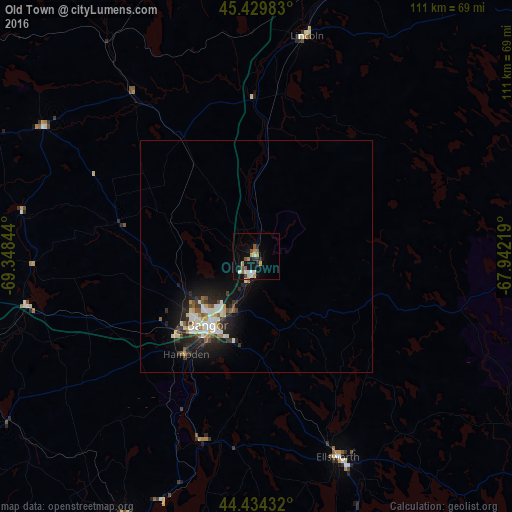
Analysis of Old Town night lights 2016
Square area 10x10 km:
 0.79%
0.79%90-99
4.29%80-89
1.43%70-79
2.38%60-69
1.27%50-59
3.02%40-49
1.43%30-39
0.79%20-29
3.17%10-19
8.25%0-9
73.17%Square area 50x50 km:
0.54%90-99
0.97%80-89
0.43%70-79
0.33%60-69
0.3%50-59
0.6%40-49
0.37%30-39
0.7%20-29
1.36%10-19
3.3%0-9
91.1%Clear (daylight) street map image can be seen on geolist.org.
Map coordinates:
45° 25' 47.4" North, 69° 20' 54.4" West
44° 56' 3.2" North, 68° 38' 43.1" West
44° 26' 3.6" North, 67° 56' 31.9" West
Some cities around Old Town sort by population:
• Bangor
18.1 km =11.2 mi,  215°
215°
• Waterville
88.7 km =55.1 mi,  241°
241°
• Orono
6.1 km =3.8 mi,  200°
200°
• Brewer
17.8 km =11.1 mi,  210°
210°
• Ellsworth
47 km =29.2 mi,  157°
157°
• Winslow
88.3 km =54.9 mi, 240°
• Belfast
63.3 km =39.3 mi, 206°
• Skowhegan
86.7 km =53.9 mi,  257°
257°
4974231 (p: 7,624)
Sources (retrieved 2019-11-25):
» Earth at Night: Flat Maps 2012, 2016