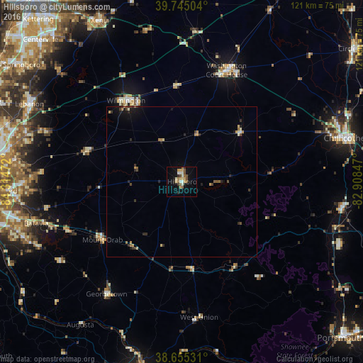
Hillsboro night lights from space
Night Light of Hillsboro (Ohio) from space (United States) Src. Average luminocity for 10x10km area is 19.2159% and for 50x50km: 2.0772%.
Analysis of Hillsboro night lights 2016
Square area 10x10 km:
 1.3%
1.3%90-99
3.41%80-89
2.76%70-79
3.57%60-69
2.6%50-59
3.41%40-49
1.79%30-39
1.62%20-29
1.62%10-19
12.18%0-9
65.75%Square area 50x50 km:
0.07%90-99
0.24%80-89
0.27%70-79
0.36%60-69
0.3%50-59
0.26%40-49
0.29%30-39
0.34%20-29
0.51%10-19
1.22%0-9
96.14%Clear (daylight) street map image can be seen on geolist.org.
Map coordinates:
39° 44' 42.1" North, 84° 18' 53" West
39° 12' 8.2" North, 83° 36' 41.7" West
38° 39' 19.1" North, 82° 54' 30.5" West
Some cities around Hillsboro sort by population:
• Chillicothe
56.1 km =34.9 mi,  74°
74°
• Lebanon
57.1 km =35.5 mi,  296°
296°
• Washington Court House
40 km =24.9 mi,  21°
21°
• Loveland
56.7 km =35.2 mi,  277°
277°
• Wilmington
32.8 km =20.4 mi,  325°
325°
• Goshen
47.5 km =29.5 mi,  274°
274°
• Milford
58.9 km =36.6 mi, 267°
• Landen
59.1 km =36.7 mi, 281°
4514282 (p: 6,557)
Sources (retrieved 2019-11-25):
» Earth at Night: Flat Maps 2012, 2016