Chillicothe night lights from space
Night Light of Chillicothe (Ohio) from space (United States) Src. Average luminocity for 10x10km area is 49.5306% and for 50x50km: 4.6351%.
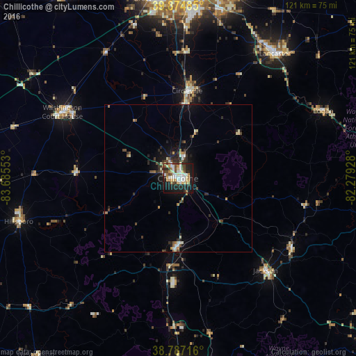
Analysis of Chillicothe night lights 2016
Square area 10x10 km:
 9.35%
9.35%90-99
12.24%80-89
7.14%70-79
5.27%60-69
5.44%50-59
3.57%40-49
8.67%30-39
3.74%20-29
15.14%10-19
26.7%0-9
2.72%Square area 50x50 km:
0.5%90-99
0.85%80-89
0.5%70-79
0.42%60-69
0.46%50-59
0.54%40-49
0.77%30-39
0.65%20-29
1.72%10-19
3.28%0-9
90.3%Clear (daylight) street map image can be seen on geolist.org.
Map coordinates:
39° 52' 29.5" North, 83° 41' 7.9" West
39° 19' 59.2" North, 82° 58' 56.6" West
38° 47' 13.8" North, 82° 16' 45.4" West
Some cities around Chillicothe sort by population:
• Lancaster
53.6 km =33.3 mi,  37°
37°
• Washington Court House
45.3 km =28.1 mi,  299°
299°
• Circleville
29.9 km =18.6 mi,  5°
5°
• Canal Winchester
58.7 km =36.5 mi,  15°
15°
• Logan
54.5 km =33.9 mi,  65°
65°
• Hillsboro
56.1 km =34.9 mi,  254°
254°
• Jackson
43.2 km =26.8 mi,  136°
136°
• Wellston
45.2 km =28.1 mi,  121°
121°
4828890 (p: 21,727)
Sources (retrieved 2019-11-25):
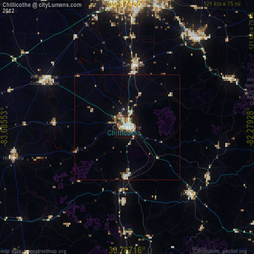
» Earth at Night: Flat Maps 2012, 2016