Hazleton night lights from space
Night Light of Hazleton (Pennsylvania) from space (United States) Src. Average luminocity for 10x10km area is 47.6412% and for 50x50km: 9.3834%.
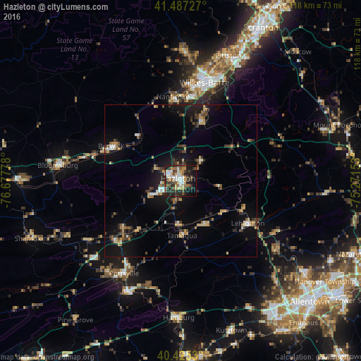
Analysis of Hazleton night lights 2016
Square area 10x10 km:
 8.5%
8.5%90-99
7.82%80-89
5.61%70-79
7.82%60-69
4.93%50-59
8.5%40-49
4.42%30-39
11.73%20-29
19.22%10-19
17.52%0-9
3.91%Square area 50x50 km:
0.79%90-99
0.86%80-89
1.1%70-79
1.5%60-69
0.99%50-59
1.1%40-49
1.34%30-39
2.01%20-29
2.68%10-19
7.93%0-9
79.71%Clear (daylight) street map image can be seen on geolist.org.
Map coordinates:
41° 29' 14.2" North, 76° 40' 40" West
40° 57' 30.3" North, 75° 58' 28.7" West
40° 25' 31.1" North, 75° 16' 17.5" West
Some cities around Hazleton sort by population:
• Wilkes-Barre
32.9 km =20.4 mi,  13°
13°
• Kingston
34.4 km =21.4 mi, 10°
• Mountain Top
24.8 km =15.4 mi,  19°
19°
• Nanticoke
27.6 km =17.1 mi,  354°
354°
• Berwick
24.2 km =15 mi,  296°
296°
• Tamaqua
17.9 km =11.1 mi,  178°
178°
• Plymouth
31.4 km =19.5 mi,  4°
4°
• Lehighton
25.9 km =16.1 mi,  122°
122°
5193011 (p: 24,825)
Sources (retrieved 2019-11-25):
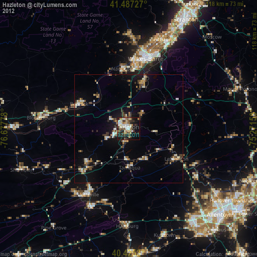
» Earth at Night: Flat Maps 2012, 2016