Wilkes-Barre night lights from space
Night Light of Wilkes-Barre (Pennsylvania) from space (United States) Src. Average luminocity for 10x10km area is 70.586% and for 50x50km: 15.6199%.
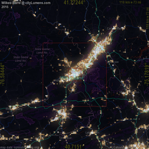
Analysis of Wilkes-Barre night lights 2016
Square area 10x10 km:
 19.97%
90-99
21.27%80-89
8.12%70-79
4.06%60-69
11.53%50-59
9.58%40-49
5.52%30-39
5.03%20-29
10.88%10-19
4.06%0-9
0%Square area 50x50 km:
2.33%90-99
2.6%80-89
1.54%70-79
2.12%60-69
2.32%50-59
2.39%40-49
2.23%30-39
2.63%20-29
5.38%10-19
7.66%0-9
68.8%Clear (daylight) street map image can be seen on geolist.org.
Map coordinates:
41° 46' 20.8" North, 76° 35' 4" West
41° 14' 45.3" North, 75° 52' 52.7" West
40° 42' 54.4" North, 75° 10' 41.5" West
Some cities around Wilkes-Barre sort by population:
• Back Mountain
13.9 km =8.6 mi,  316°
316°
• Kingston
2.2 km =1.4 mi, 323°
• Mountain Top
8.5 km =5.3 mi,  177°
177°
• Nanticoke
11.3 km =7 mi,  246°
246°
• Pittston
11.8 km =7.3 mi,  40°
40°
• Plymouth
5.3 km =3.3 mi,  263°
263°
• Moosic
16.9 km =10.5 mi, 44°
• Exeter
9.8 km =6.1 mi,  32°
32°
5219488 (p: 40,780)
Sources (retrieved 2019-11-25):
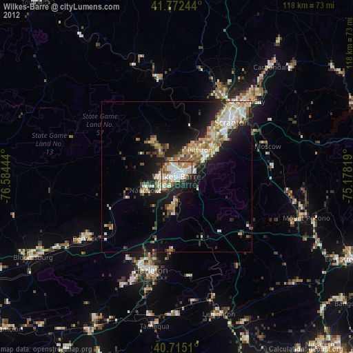
» Earth at Night: Flat Maps 2012, 2016