Corsicana night lights from space
Night Light of Corsicana (Texas) from space (United States) Src. Average luminocity for 10x10km area is 47.1049% and for 50x50km: 5.2036%.
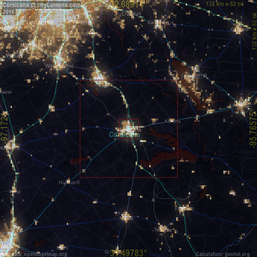
Analysis of Corsicana night lights 2016
Square area 10x10 km:
 6.99%
6.99%90-99
7.69%80-89
4.72%70-79
8.92%60-69
7.17%50-59
7.87%40-49
7.87%30-39
7.52%20-29
11.71%10-19
27.27%0-9
2.27%Square area 50x50 km:
0.37%90-99
0.46%80-89
0.8%70-79
0.82%60-69
0.75%50-59
0.64%40-49
0.73%30-39
1.14%20-29
1.36%10-19
4.17%0-9
88.77%Clear (daylight) street map image can be seen on geolist.org.
Map coordinates:
32° 41' 20.9" North, 97° 10' 19.2" West
32° 5' 43.5" North, 96° 28' 7.9" West
31° 29' 52.2" North, 95° 45' 56.7" West
Some cities around Corsicana sort by population:
• Waxahachie
48.2 km =30 mi,  312°
312°
• Ennis
29.9 km =18.6 mi,  330°
330°
• Seagoville
60.9 km =37.8 mi,  353°
353°
• Athens
59 km =36.7 mi,  78°
78°
• Red Oak
56.6 km =35.2 mi, 326°
• Mexia
46.2 km =28.7 mi,  181°
181°
• Kaufman
56.9 km =35.4 mi,  15°
15°
• Gun Barrel City
40 km =24.9 mi,  48°
48°
4683462 (p: 23,952)
Sources (retrieved 2019-11-25):
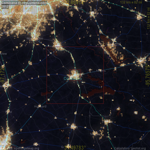
» Earth at Night: Flat Maps 2012, 2016