Gulfport night lights from space
Night Light of Gulfport (Mississippi) from space (United States) Src. Average luminocity for 10x10km area is 64.0403% and for 50x50km: 23.8382%.
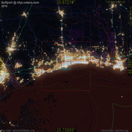
Analysis of Gulfport night lights 2016
Square area 10x10 km:
 17.77%
90-99
22.34%80-89
7.69%70-79
4.4%60-69
4.58%50-59
3.85%40-49
5.13%30-39
5.86%20-29
15.75%10-19
11.36%0-9
1.28%Square area 50x50 km:
2.97%90-99
3.33%80-89
4.29%70-79
3.78%60-69
4.76%50-59
3%40-49
2.81%30-39
3.52%20-29
8.11%10-19
10.38%0-9
53.03%Clear (daylight) street map image can be seen on geolist.org.
Map coordinates:
30° 58' 19.9" North, 89° 47' 45.4" West
30° 22' 2.7" North, 89° 5' 34.2" West
29° 45' 32" North, 88° 23' 22.9" West
Some cities around Gulfport sort by population:
• West Gulfport
4.1 km =2.5 mi,  358°
358°
• Biloxi
20.2 km =12.6 mi,  80°
80°
• Long Beach
6.1 km =3.8 mi,  251°
251°
• D'Iberville
20.4 km =12.7 mi,  71°
71°
• Bay Saint Louis
23.7 km =14.7 mi, 254°
• Saint Martin
22.9 km =14.2 mi, 69°
• Gulf Hills
25 km =15.5 mi, 73°
• Pass Christian
15.9 km =9.9 mi, 248°
4428667 (p: 71,856)
Sources (retrieved 2019-11-25):
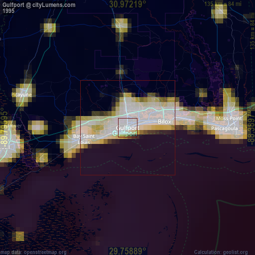
» NASA, Earths city lights 1995
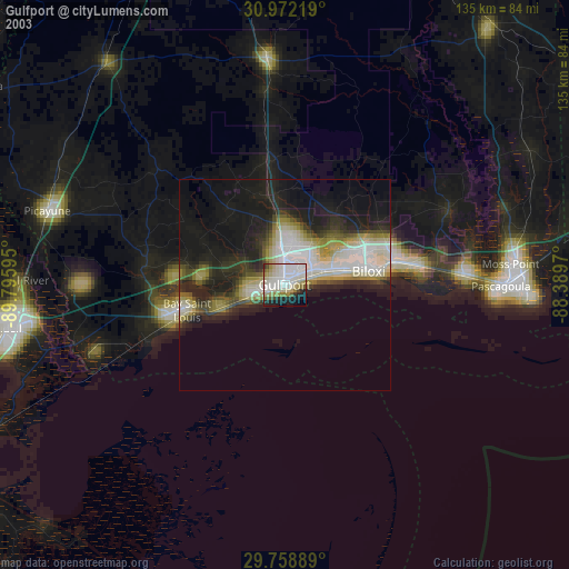
» NASA city lights 2003
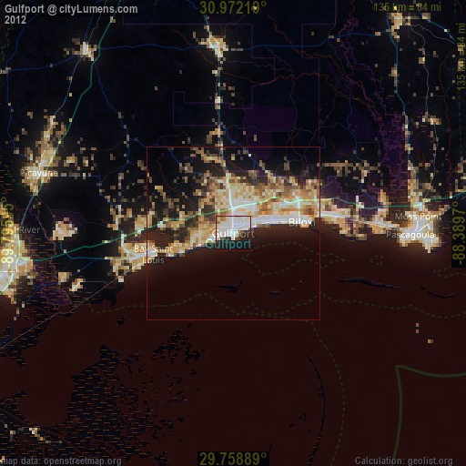
» Earth at Night: Flat Maps 2012, 2016