Greenwood night lights from space
Night Light of Greenwood (South Carolina) from space (United States) Src. Average luminocity for 10x10km area is 74.0659% and for 50x50km: 9.8406%.
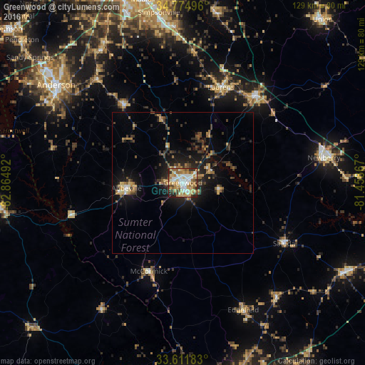
Analysis of Greenwood night lights 2016
Square area 10x10 km:
 16.85%
90-99
16.12%80-89
16.85%70-79
13.55%60-69
10.99%50-59
7.88%40-49
5.31%30-39
6.04%20-29
5.68%10-19
0.73%0-9
0%Square area 50x50 km:
0.86%90-99
0.89%80-89
1.36%70-79
1.55%60-69
1.36%50-59
1.27%40-49
1.54%30-39
2.18%20-29
3.04%10-19
7.38%0-9
78.58%Clear (daylight) street map image can be seen on geolist.org.
Map coordinates:
34° 46' 29.9" North, 82° 51' 53.7" West
34° 11' 43.4" North, 82° 9' 42.4" West
33° 36' 42.6" North, 81° 27' 31.2" West
Some cities around Greenwood sort by population:
• Anderson
56.4 km =35 mi,  307°
307°
• Simpsonville
60.8 km =37.8 mi,  351°
351°
• Newberry
50.7 km =31.5 mi,  79°
79°
• Laurens
36.4 km =22.6 mi,  21°
21°
• Clinton
40.2 km =25 mi,  39°
39°
• Fountain Inn
55 km =34.2 mi,  356°
356°
• Homeland Park
55.9 km =34.7 mi,  303°
303°
• Abbeville
20.1 km =12.5 mi,  264°
264°
4580569 (p: 23,260)
Sources (retrieved 2019-11-25):
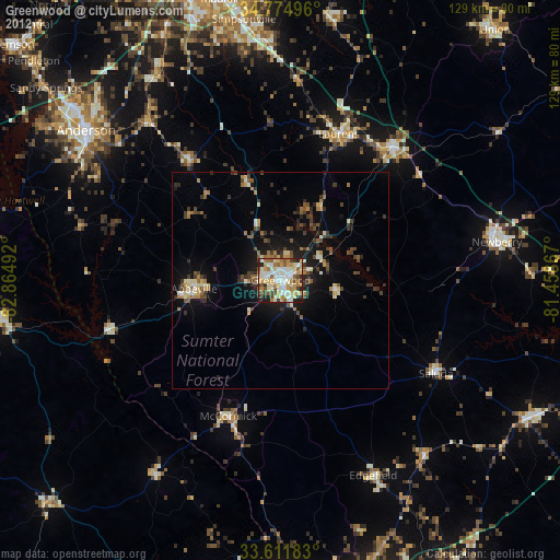
» Earth at Night: Flat Maps 2012, 2016