Greenville night lights from space
Night Light of Greenville (North Carolina) from space (United States) Src. Average luminocity for 10x10km area is 81.4336% and for 50x50km: 15.0135%.
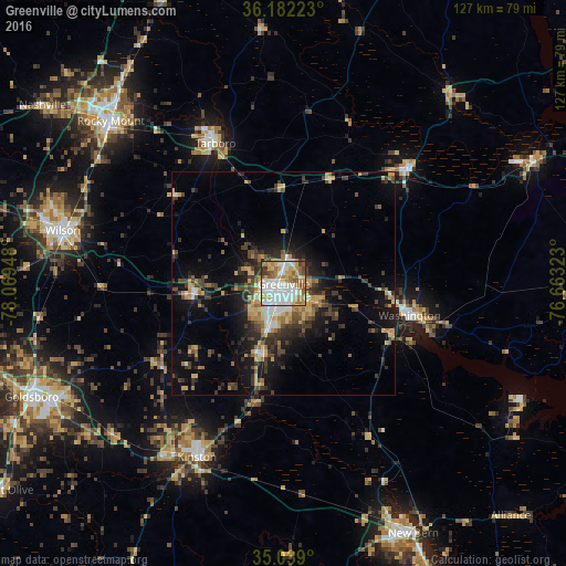
Analysis of Greenville night lights 2016
Square area 10x10 km:
 22.9%
22.9%90-99
24.65%80-89
9.79%70-79
14.34%60-69
10.66%50-59
10.14%40-49
3.85%30-39
3.32%20-29
0.35%10-19
0%0-9
0%Square area 50x50 km:
1.58%90-99
1.76%80-89
2.25%70-79
2.41%60-69
1.93%50-59
1.42%40-49
2.8%30-39
3.79%20-29
3.94%10-19
8.71%0-9
69.42%Clear (daylight) street map image can be seen on geolist.org.
Map coordinates:
36° 10' 56" North, 78° 4' 10.1" West
35° 36' 45.6" North, 77° 21' 58.9" West
35° 2' 20.4" North, 76° 39' 47.6" West
Some cities around Greenville sort by population:
• Rocky Mount
52.7 km =32.7 mi,  313°
313°
• Wilson
51.1 km =31.8 mi,  283°
283°
• Kinston
43.5 km =27 mi,  206°
206°
• Tarboro
35.1 km =21.8 mi,  334°
334°
• Washington
29.3 km =18.2 mi,  104°
104°
• Winterville
9.8 km =6.1 mi,  198°
198°
• Williamston
38.9 km =24.2 mi,  46°
46°
• Ayden
16.2 km =10.1 mi, 195°
4469160 (p: 90,597)
Sources (retrieved 2019-11-25):
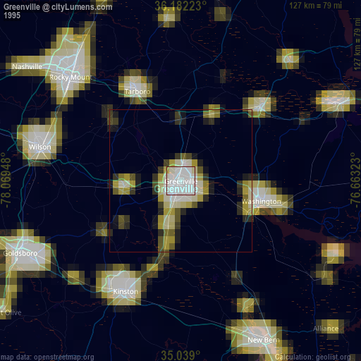
» NASA, Earths city lights 1995
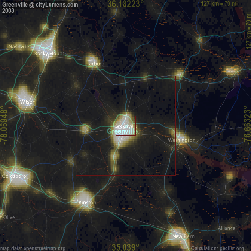
» NASA city lights 2003
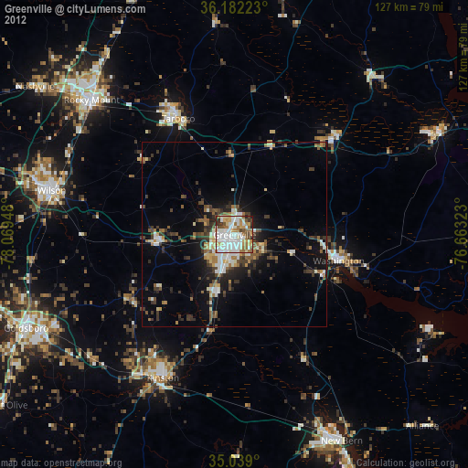
» Earth at Night: Flat Maps 2012, 2016