Kinston night lights from space
Night Light of Kinston (North Carolina) from space (United States) Src. Average luminocity for 10x10km area is 52.3776% and for 50x50km: 10.0957%.
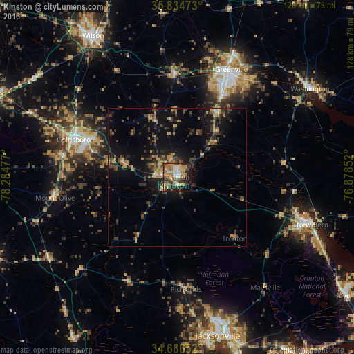
Analysis of Kinston night lights 2016
Square area 10x10 km:
 7.52%
7.52%90-99
8.57%80-89
6.29%70-79
8.39%60-69
16.43%50-59
4.2%40-49
8.74%30-39
9.27%20-29
10.66%10-19
17.13%0-9
2.8%Square area 50x50 km:
0.43%90-99
0.52%80-89
1.1%70-79
1.63%60-69
2.09%50-59
1.1%40-49
2.2%30-39
3.14%20-29
2.64%10-19
7.97%0-9
77.18%Clear (daylight) street map image can be seen on geolist.org.
Map coordinates:
35° 50' 5" North, 78° 17' 5.2" West
35° 15' 45.6" North, 77° 34' 53.9" West
34° 41' 11.5" North, 76° 52' 42.7" West
Some cities around Kinston sort by population:
• Greenville
43.5 km =27 mi,  26°
26°
• Goldsboro
39.7 km =24.7 mi,  290°
290°
• New Bern
51.8 km =32.2 mi,  109°
109°
• Washington
57.4 km =35.7 mi,  56°
56°
• Winterville
33.8 km =21 mi, 28°
• Half Moon
49.8 km =30.9 mi,  167°
167°
• James City
53.3 km =33.1 mi, 111°
• Ayden
27.8 km =17.3 mi, 32°
4474436 (p: 21,337)
Sources (retrieved 2019-11-25):
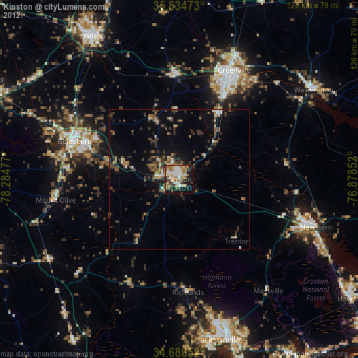
» Earth at Night: Flat Maps 2012, 2016