Greenfield night lights from space
Night Light of Greenfield (California) from space (United States) Src. Average luminocity for 10x10km area is 8.1469% and for 50x50km: 1.8105%.
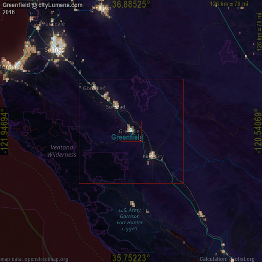
Analysis of Greenfield night lights 2016
Square area 10x10 km:
 0.35%
0.35%90-99
1.05%80-89
0.7%70-79
1.4%60-69
1.57%50-59
2.62%40-49
1.4%30-39
2.1%20-29
0%10-19
0%0-9
88.81%Square area 50x50 km:
0.11%90-99
0.23%80-89
0.13%70-79
0.23%60-69
0.29%50-59
0.32%40-49
0.45%30-39
0.34%20-29
0.2%10-19
0.23%0-9
97.46%Clear (daylight) street map image can be seen on geolist.org.
Map coordinates:
36° 53' 6.9" North, 121° 56' 49" West
36° 19' 14.9" North, 121° 14' 37.7" West
35° 45' 8" North, 120° 32' 26.5" West
Some cities around Greenfield sort by population:
• Salinas
54.1 km =33.6 mi,  317°
317°
• Hollister
60.8 km =37.8 mi,  346°
346°
• Seaside
63.2 km =39.3 mi,  300°
300°
• Soledad
13.7 km =8.5 mi,  327°
327°
• Marina
64.2 km =39.9 mi,  309°
309°
• Prunedale
63.3 km =39.3 mi, 323°
• King City
16 km =9.9 mi,  138°
138°
• Gonzales
27.4 km =17 mi, 319°
5354172 (p: 17,184)
Sources (retrieved 2019-11-25):
» Earth at Night: Flat Maps 2012, 2016