Salinas night lights from space
Night Light of Salinas (California) from space (United States) Src. Average luminocity for 10x10km area is 56.5311% and for 50x50km: 10.0832%.
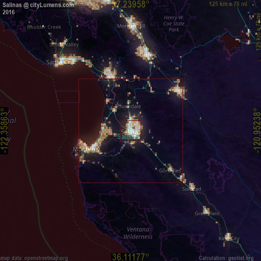
Analysis of Salinas night lights 2016
Square area 10x10 km:
 14.29%
90-99
15.02%80-89
7.14%70-79
7.33%60-69
5.31%50-59
4.21%40-49
3.66%30-39
4.21%20-29
17.95%10-19
19.23%0-9
1.65%Square area 50x50 km:
0.94%90-99
1.17%80-89
0.45%70-79
2%60-69
1.66%50-59
1.31%40-49
1.34%30-39
2.16%20-29
2.63%10-19
9.1%0-9
77.24%Clear (daylight) street map image can be seen on geolist.org.
Map coordinates:
37° 14' 22.5" North, 122° 21' 31.1" West
36° 40' 39.9" North, 121° 39' 19.8" West
36° 6' 42.4" North, 120° 57' 8.6" West
Some cities around Salinas sort by population:
• Watsonville
27.4 km =17 mi,  340°
340°
• Seaside
19 km =11.8 mi,  247°
247°
• Monterey
23 km =14.3 mi, 248°
• Marina
13.1 km =8.1 mi,  273°
273°
• Prunedale
11 km =6.8 mi,  353°
353°
• Pacific Grove
24.2 km =15 mi, 254°
• Gonzales
26.8 km =16.7 mi,  135°
135°
• Castroville
13.4 km =8.3 mi,  316°
316°
5391295 (p: 157,380)
Sources (retrieved 2019-11-25):
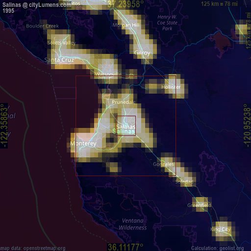
» NASA, Earths city lights 1995
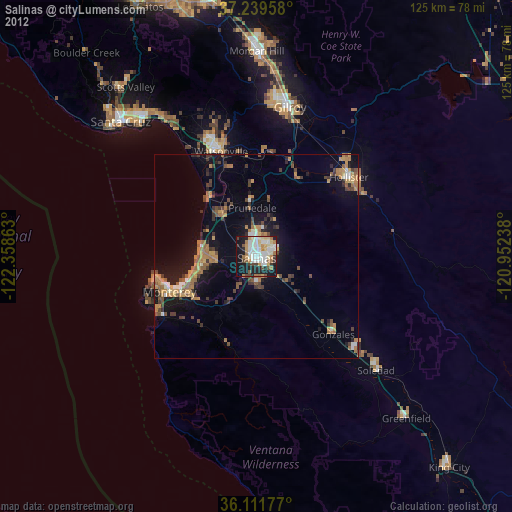
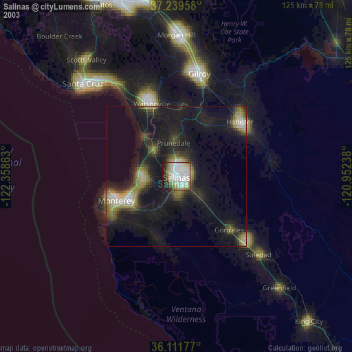
» NASA city lights 2003
» Earth at Night: Flat Maps 2012, 2016