Green night lights from space
Night Light of Green (Ohio) from space (United States) Src. Average luminocity for 10x10km area is 56.8912% and for 50x50km: 42.2365%.
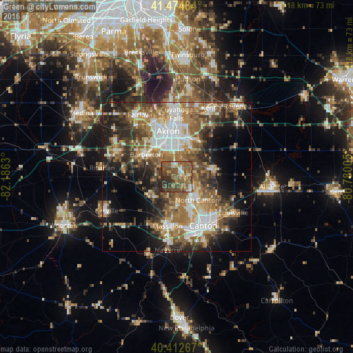
Analysis of Green night lights 2016
Square area 10x10 km:
 5.78%
5.78%90-99
5.61%80-89
2.72%70-79
6.97%60-69
11.22%50-59
30.1%40-49
21.6%30-39
7.48%20-29
8.5%10-19
0%0-9
0%Square area 50x50 km:
6.95%90-99
7.84%80-89
3.94%70-79
5.3%60-69
8.52%50-59
8.52%40-49
7.51%30-39
6.44%20-29
8.96%10-19
11.28%0-9
24.74%Clear (daylight) street map image can be seen on geolist.org.
Map coordinates:
41° 28' 29.4" North, 82° 11' 10.7" West
40° 56' 45.2" North, 81° 28' 59.4" West
40° 24' 45.6" North, 80° 46' 48.2" West
Some cities around Green sort by population:
• Akron
15.4 km =9.6 mi,  348°
348°
• Barberton
12.7 km =7.9 mi,  306°
306°
• North Canton
10.3 km =6.4 mi,  138°
138°
• New Franklin
4.9 km =3 mi,  264°
264°
• Norton
16 km =9.9 mi, 305°
• Perry Heights
16.8 km =10.4 mi,  177°
177°
• Portage Lakes
7.8 km =4.8 mi,  331°
331°
• Canal Fulton
11.5 km =7.1 mi,  237°
237°
5156371 (p: 25,898)
Sources (retrieved 2019-11-25):
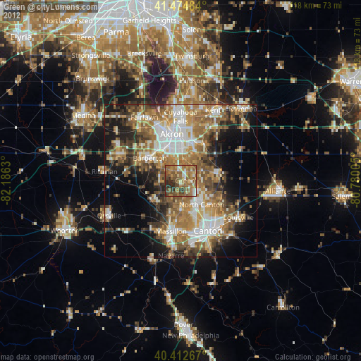
» Earth at Night: Flat Maps 2012, 2016