North Canton night lights from space
Night Light of North Canton (Ohio) from space (United States) Src. Average luminocity for 10x10km area is 79.2415% and for 50x50km: 33.3549%.
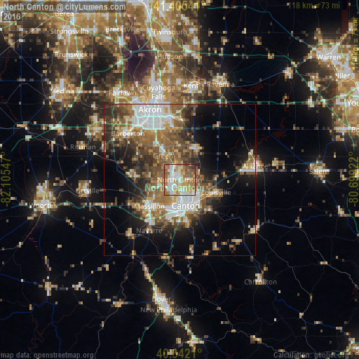
Analysis of North Canton night lights 2016
Square area 10x10 km:
 17.01%
90-99
22.11%80-89
10.88%70-79
15.82%60-69
19.73%50-59
10.03%40-49
2.21%30-39
1.7%20-29
0.51%10-19
0%0-9
0%Square area 50x50 km:
5.42%90-99
5.94%80-89
3.11%70-79
3.69%60-69
6.57%50-59
6.98%40-49
5.91%30-39
5.17%20-29
6.95%10-19
9.66%0-9
40.6%Clear (daylight) street map image can be seen on geolist.org.
Map coordinates:
41° 24' 19.5" North, 82° 6' 19.7" West
40° 52' 33.2" North, 81° 24' 8.4" West
40° 20' 31.6" North, 80° 41' 57.2" West
Some cities around North Canton sort by population:
• Canton
8.8 km =5.5 mi,  166°
166°
• Massillon
13.3 km =8.3 mi,  228°
228°
• Green
10.3 km =6.4 mi,  318°
318°
• New Franklin
13.8 km =8.6 mi,  302°
302°
• Louisville
12.8 km =8 mi,  109°
109°
• Perry Heights
10.8 km =6.7 mi,  213°
213°
• Portage Lakes
18 km =11.2 mi, 324°
• Canal Fulton
16.5 km =10.3 mi,  275°
275°
5164706 (p: 17,441)
Sources (retrieved 2019-11-25):
» Earth at Night: Flat Maps 2012, 2016