Barberton night lights from space
Night Light of Barberton (Ohio) from space (United States) Src. Average luminocity for 10x10km area is 65.25% and for 50x50km: 45.1058%.
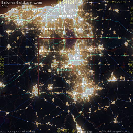
Analysis of Barberton night lights 2016
Square area 10x10 km:
 8.67%
8.67%90-99
16.16%80-89
8.16%70-79
7.82%60-69
13.78%50-59
15.48%40-49
14.12%30-39
7.99%20-29
6.97%10-19
0.85%0-9
0%Square area 50x50 km:
6.86%90-99
8.07%80-89
4.02%70-79
5.45%60-69
9.26%50-59
9.37%40-49
8.3%30-39
7.61%20-29
11.65%10-19
15.06%0-9
14.37%Clear (daylight) street map image can be seen on geolist.org.
Map coordinates:
41° 32' 28.5" North, 82° 18' 29.7" West
41° 0' 46.2" North, 81° 36' 18.4" West
40° 28' 48.5" North, 80° 54' 7.2" West
Some cities around Barberton sort by population:
• Akron
10.5 km =6.5 mi,  43°
43°
• Green
12.7 km =7.9 mi,  126°
126°
• Wadsworth
10.6 km =6.6 mi,  277°
277°
• New Franklin
9.5 km =5.9 mi,  145°
145°
• Copley
10.1 km =6.3 mi,  340°
340°
• Norton
3.3 km =2.1 mi,  303°
303°
• Fairlawn
12.8 km =8 mi,  358°
358°
• Portage Lakes
6.6 km =4.1 mi,  95°
95°
5146491 (p: 26,234)
Sources (retrieved 2019-11-25):
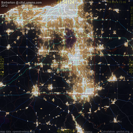
» Earth at Night: Flat Maps 2012, 2016