Graham night lights from space
Night Light of Graham (Washington) from space (United States) Src. Average luminocity for 10x10km area is 26.4034% and for 50x50km: 23.6326%.
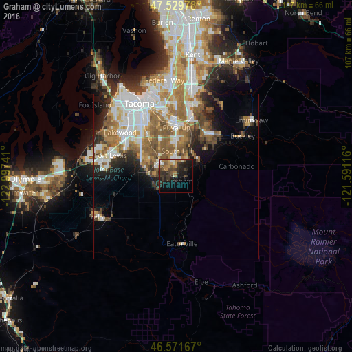
Analysis of Graham night lights 2016
Square area 10x10 km:
 1.42%
1.42%90-99
2.98%80-89
1.7%70-79
2.84%60-69
7.67%50-59
4.69%40-49
3.13%30-39
9.38%20-29
10.65%10-19
19.03%0-9
36.51%Square area 50x50 km:
5.85%90-99
4.56%80-89
1.75%70-79
2.74%60-69
4.36%50-59
5.04%40-49
3.06%30-39
2.25%20-29
3.45%10-19
5.05%0-9
61.89%Clear (daylight) street map image can be seen on geolist.org.
Map coordinates:
47° 31' 47.2" North, 122° 59' 50.7" West
47° 3' 10.4" North, 122° 17' 39.4" West
46° 34' 18" North, 121° 35' 28.2" West
Some cities around Graham sort by population:
• South Hill
10 km =6.2 mi,  10°
10°
• Spanaway
12 km =7.5 mi,  298°
298°
• Frederickson
6.9 km =4.3 mi,  314°
314°
• Elk Plain
7.8 km =4.8 mi,  270°
270°
• Prairie Ridge
14.5 km =9 mi,  49°
49°
• Summit
13 km =8.1 mi,  338°
338°
• Orting
8.5 km =5.3 mi, 53°
• Summit View
10.3 km =6.4 mi,  334°
334°
5795906 (p: 23,491)
Sources (retrieved 2019-11-25):
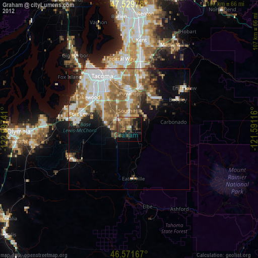
» Earth at Night: Flat Maps 2012, 2016