Miami Springs night lights from space
Night Light of Miami Springs (Florida) from space (United States) Src. Average luminocity for 10x10km area is 99.9773% and for 50x50km: 61.6049%.
Analysis of Miami Springs night lights 2016
Square area 10x10 km:
 98.48%
90-99
1.52%80-89
0%70-79
0%60-69
0%50-59
0%40-49
0%30-39
0%20-29
0%10-19
0%0-9
0%Square area 50x50 km:
33.19%90-99
11.95%80-89
2.48%70-79
3.13%60-69
6.17%50-59
4.44%40-49
4.58%30-39
4.2%20-29
4.61%10-19
6.32%0-9
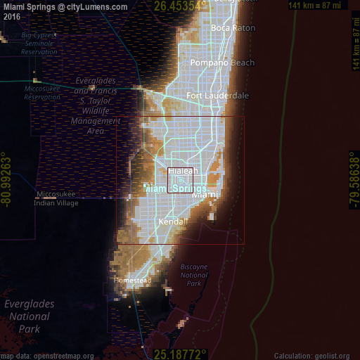
18.94%Clear (daylight) street map image can be seen on geolist.org.
Map coordinates:
26° 27' 12.7" North, 80° 59' 33.5" West
25° 49' 20.4" North, 80° 17' 22.2" West
25° 11' 15.8" North, 79° 35' 11" West
Some cities around Miami Springs sort by population:
• Hialeah
4.1 km =2.5 mi,  16°
16°
• Doral
6.6 km =4.1 mi,  267°
267°
• Allapattah
6.6 km =4.1 mi,  97°
97°
• West Little River
6.5 km =4 mi,  53°
53°
• Hialeah Gardens
5.9 km =3.7 mi,  323°
323°
• Brownsville
4.8 km =3 mi,  90°
90°
• Gladeview
5.7 km =3.5 mi,  70°
70°
• West Miami
6.6 km =4.1 mi,  185°
185°
4164223 (p: 14,490)
Sources (retrieved 2019-11-25):
» Earth at Night: Flat Maps 2012, 2016