Gifford night lights from space
Night Light of Gifford (Florida) from space (United States) Src. Average luminocity for 10x10km area is 66.9544% and for 50x50km: 14.7914%.
Analysis of Gifford night lights 2016
Square area 10x10 km:
 9.72%
9.72%90-99
13.89%80-89
9.52%70-79
5.56%60-69
26.79%50-59
12.7%40-49
7.94%30-39
6.55%20-29
4.96%10-19
2.38%0-9
0%Square area 50x50 km:
0.86%90-99
1.36%80-89
0.8%70-79
1.42%60-69
6.17%50-59
3.34%40-49
2.47%30-39
2.7%20-29
4.74%10-19
8.31%0-9
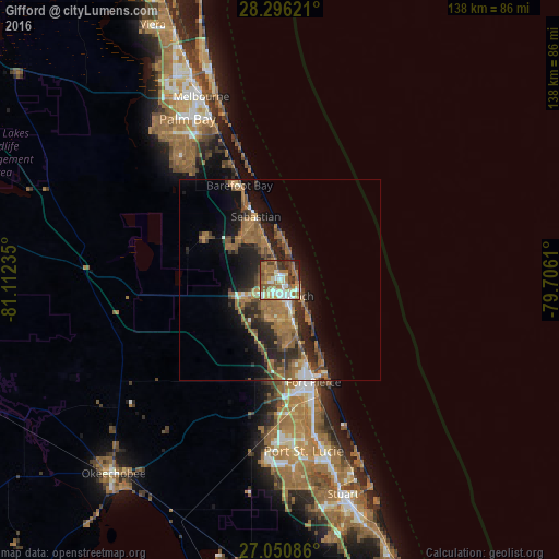
67.81%Clear (daylight) street map image can be seen on geolist.org.
Map coordinates:
28° 17' 46.4" North, 81° 6' 44.5" West
27° 40' 31.1" North, 80° 24' 33.2" West
27° 3' 3.1" North, 79° 42' 22" West
Some cities around Gifford sort by population:
• Sebastian
16.8 km =10.4 mi,  338°
338°
• Vero Beach South
6.6 km =4.1 mi,  183°
183°
• Florida Ridge
10.8 km =6.7 mi,  168°
168°
• Vero Beach
4.2 km =2.6 mi,  163°
163°
• Lakewood Park
14.7 km =9.1 mi, 177°
• West Vero Corridor
8.6 km =5.3 mi,  241°
241°
• Fort Pierce North
23 km =14.3 mi, 167°
• Fellsmere
21.5 km =13.4 mi,  298°
298°
4156752 (p: 9,590)
Sources (retrieved 2019-11-25):
» Earth at Night: Flat Maps 2012, 2016