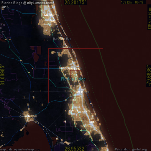
Florida Ridge night lights from space
Night Light of Florida Ridge (Florida) from space (United States) Src. Average luminocity for 10x10km area is 53.9306% and for 50x50km: 18.1018%.
Analysis of Florida Ridge night lights 2016
Square area 10x10 km:
 1.19%
1.19%90-99
4.37%80-89
3.77%70-79
10.52%60-69
33.93%50-59
10.12%40-49
4.37%30-39
9.52%20-29
19.25%10-19
2.98%0-9
0%Square area 50x50 km:
1.56%90-99
1.96%80-89
1.07%70-79
1.78%60-69
7.55%50-59
3.68%40-49
2.96%30-39
3.04%20-29
5.76%10-19
7.97%0-9
62.67%Clear (daylight) street map image can be seen on geolist.org.
Map coordinates:
28° 12' 6.3" North, 81° 5' 23.5" West
27° 34' 49.1" North, 80° 23' 12.2" West
26° 57' 19.2" North, 79° 41' 1" West
Some cities around Florida Ridge sort by population:
• Fort Pierce
16 km =9.9 mi,  157°
157°
• Vero Beach South
4.8 km =3 mi,  327°
327°
• Vero Beach
6.6 km =4.1 mi,  350°
350°
• Lakewood Park
4.4 km =2.7 mi,  200°
200°
• Gifford
10.8 km =6.7 mi, 348°
• West Vero Corridor
11.7 km =7.3 mi,  303°
303°
• Fort Pierce North
12.2 km =7.6 mi,  167°
167°
• Fort Pierce South
19.2 km =11.9 mi, 170°
4155726 (p: 18,164)
Sources (retrieved 2019-11-25):
» Earth at Night: Flat Maps 2012, 2016