Sebastian night lights from space
Night Light of Sebastian (Florida) from space (United States) Src. Average luminocity for 10x10km area is 31.0511% and for 50x50km: 14.9682%.
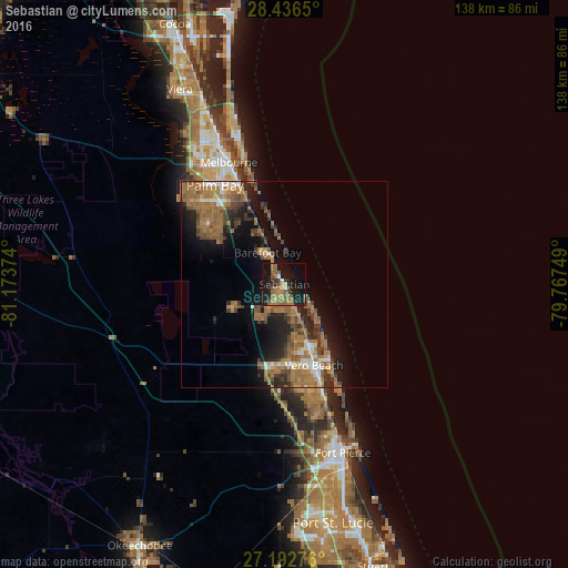
Analysis of Sebastian night lights 2016
Square area 10x10 km:
 1.52%
1.52%90-99
0.76%80-89
0.95%70-79
2.08%60-69
15.53%50-59
10.23%40-49
5.11%30-39
2.46%20-29
6.06%10-19
39.2%0-9
16.1%Square area 50x50 km:
0.99%90-99
1.31%80-89
0.77%70-79
1.31%60-69
6.28%50-59
4.07%40-49
2.76%30-39
2.31%20-29
3.42%10-19
8.66%0-9
68.12%Clear (daylight) street map image can be seen on geolist.org.
Map coordinates:
28° 26' 11.4" North, 81° 10' 25.5" West
27° 48' 59.1" North, 80° 28' 14.2" West
27° 11' 33.9" North, 79° 46' 3" West
Some cities around Sebastian sort by population:
• Palm Bay
26.9 km =16.7 mi,  334°
334°
• Vero Beach South
23 km =14.3 mi,  165°
165°
• Florida Ridge
27.5 km =17.1 mi,  162°
162°
• Vero Beach
21 km =13 mi, 159°
• Gifford
16.8 km =10.4 mi, 158°
• Micco
7.7 km =4.8 mi,  337°
337°
• West Vero Corridor
19.9 km =12.4 mi,  184°
184°
• Fellsmere
14 km =8.7 mi,  247°
247°
4172372 (p: 24,007)
Sources (retrieved 2019-11-25):
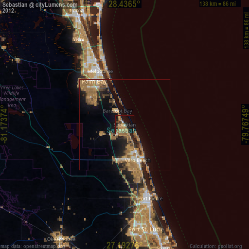
» Earth at Night: Flat Maps 2012, 2016