Gainesville night lights from space
Night Light of Gainesville (Georgia) from space (United States) Src. Average luminocity for 10x10km area is 78.1593% and for 50x50km: 33.1324%.
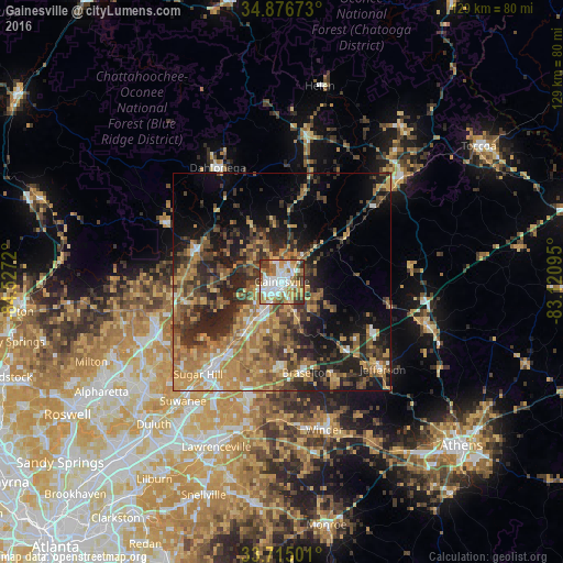
Analysis of Gainesville night lights 2016
Square area 10x10 km:
 24.54%
90-99
19.6%80-89
7.51%70-79
12.09%60-69
15.2%50-59
6.23%40-49
7.14%30-39
6.96%20-29
0.73%10-19
0%0-9
0%Square area 50x50 km:
2.78%90-99
2.79%80-89
4.26%70-79
7.36%60-69
7.63%50-59
5.95%40-49
6.41%30-39
7.61%20-29
9.41%10-19
11.91%0-9
33.88%Clear (daylight) street map image can be seen on geolist.org.
Map coordinates:
34° 52' 36.2" North, 84° 31' 37.9" West
34° 17' 52.4" North, 83° 49' 26.7" West
33° 42' 54" North, 83° 7' 15.4" West
Some cities around Gainesville sort by population:
• Sugar Hill
28.7 km =17.8 mi,  222°
222°
• Buford
25.8 km =16 mi, 220°
• Jefferson
30.7 km =19.1 mi,  130°
130°
• Braselton
21.7 km =13.5 mi,  164°
164°
• Auburn
31.6 km =19.6 mi,  180°
180°
• Flowery Branch
15.6 km =9.7 mi, 216°
• Dahlonega
30 km =18.6 mi,  330°
330°
• Cumming
30.7 km =19.1 mi,  250°
250°
4196586 (p: 38,712)
Sources (retrieved 2019-11-25):
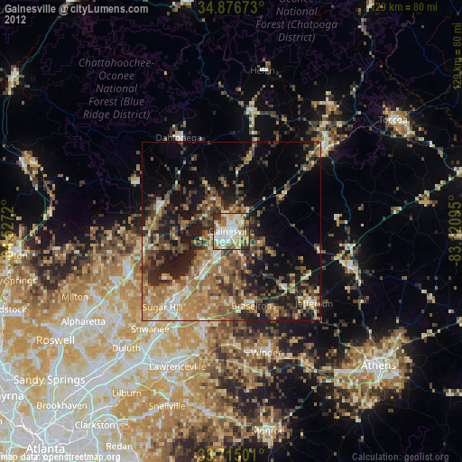
» Earth at Night: Flat Maps 2012, 2016