Gainesville night lights from space
Night Light of Gainesville (Florida) from space (United States) Src. Average luminocity for 10x10km area is 79.5516% and for 50x50km: 13.3104%.
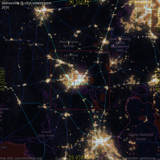
Analysis of Gainesville night lights 2016
Square area 10x10 km:
 24.01%
90-99
21.23%80-89
8.73%70-79
15.28%60-69
16.67%50-59
1.59%40-49
5.95%30-39
2.18%20-29
3.37%10-19
0.99%0-9
0%Square area 50x50 km:
1.58%90-99
1.74%80-89
0.75%70-79
2.18%60-69
4.48%50-59
1.1%40-49
1.94%30-39
1.72%20-29
3.17%10-19
7.79%0-9
73.55%Clear (daylight) street map image can be seen on geolist.org.
Map coordinates:
30° 15' 39" North, 83° 1' 40.7" West
29° 39' 5.9" North, 82° 19' 29.4" West
29° 2' 19.4" North, 81° 37' 18.2" West
Some cities around Gainesville sort by population:
• Ocala
54.7 km =34 mi,  160°
160°
• Middleburg
64.5 km =40.1 mi,  43°
43°
• Silver Springs
54.9 km =34.1 mi,  151°
151°
• Alachua
14.7 km =9.1 mi,  319°
319°
• High Springs
32.7 km =20.3 mi,  306°
306°
• Citra
33.8 km =21 mi,  142°
142°
• Newberry
27.2 km =16.9 mi,  268°
268°
• Starke
38.6 km =24 mi,  32°
32°
4156404 (p: 130,128)
Sources (retrieved 2019-11-25):
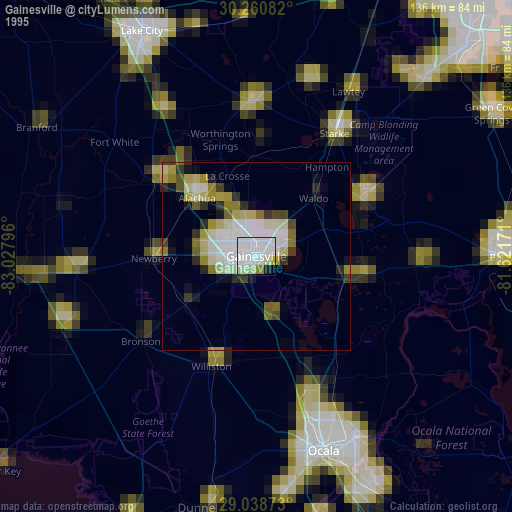
» NASA, Earths city lights 1995
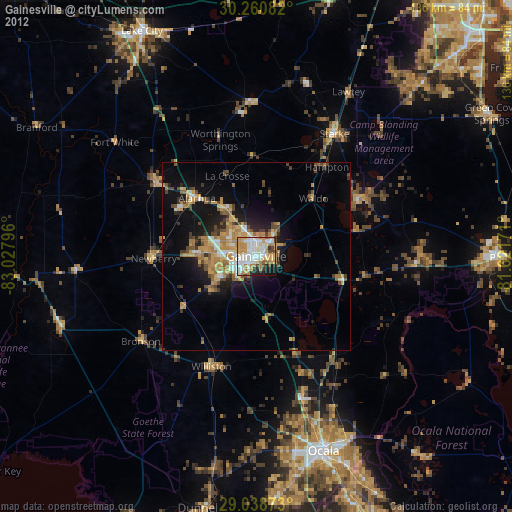
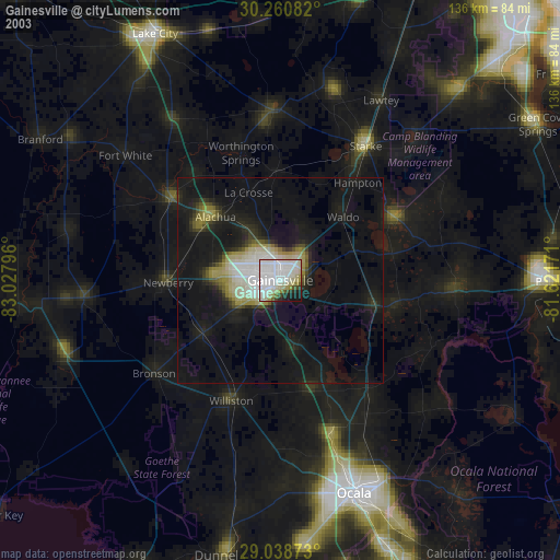
» NASA city lights 2003
» Earth at Night: Flat Maps 2012, 2016