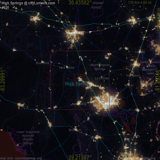
High Springs night lights from space
Night Light of High Springs (Florida) from space (United States) Src. Average luminocity for 10x10km area is 12.9444% and for 50x50km: 10.0846%.
Analysis of High Springs night lights 2016
Square area 10x10 km:
 0%
0%90-99
0%80-89
0.79%70-79
2.78%60-69
5.36%50-59
1.79%40-49
3.17%30-39
2.18%20-29
0.6%10-19
4.17%0-9
79.17%Square area 50x50 km:
1.09%90-99
1.3%80-89
0.6%70-79
1.97%60-69
3.58%50-59
0.86%40-49
1.42%30-39
1.29%20-29
2.12%10-19
4.7%0-9
81.07%Clear (daylight) street map image can be seen on geolist.org.
Map coordinates:
30° 26' 6.1" North, 83° 17' 59.7" West
29° 49' 36.9" North, 82° 35' 48.4" West
29° 12' 54.3" North, 81° 53' 37.2" West
Some cities around High Springs sort by population:
• Gainesville
32.7 km =20.3 mi,  126°
126°
• Lake City
40.5 km =25.2 mi,  354°
354°
• Alachua
18.6 km =11.6 mi,  116°
116°
• Live Oak
64 km =39.8 mi,  324°
324°
• Macclenny
68.2 km =42.4 mi,  42°
42°
• Citra
65.9 km =40.9 mi, 134°
• Newberry
20.1 km =12.5 mi,  182°
182°
• Starke
48.7 km =30.3 mi,  74°
74°
4158595 (p: 5,831)
Sources (retrieved 2019-11-25):
» Earth at Night: Flat Maps 2012, 2016