Frankfort night lights from space
Night Light of Frankfort (Kentucky) from space (United States) Src. Average luminocity for 10x10km area is 57.2602% and for 50x50km: 8.4506%.
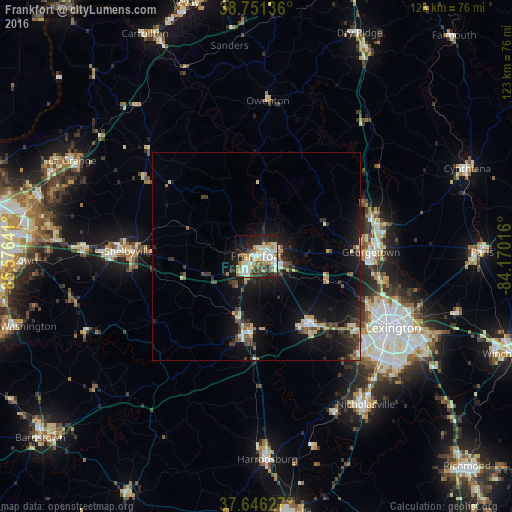
Analysis of Frankfort night lights 2016
Square area 10x10 km:
 13.44%
90-99
15.31%80-89
6.29%70-79
7.99%60-69
5.61%50-59
6.12%40-49
6.12%30-39
7.14%20-29
14.46%10-19
13.95%0-9
3.57%Square area 50x50 km:
0.85%90-99
1.19%80-89
0.98%70-79
1.03%60-69
0.67%50-59
1.09%40-49
1.19%30-39
1.73%20-29
2.38%10-19
8.68%0-9
80.21%Clear (daylight) street map image can be seen on geolist.org.
Map coordinates:
38° 45' 4.9" North, 85° 34' 35.1" West
38° 12' 3.3" North, 84° 52' 23.8" West
37° 38' 46.6" North, 84° 10' 12.6" West
Some cities around Frankfort sort by population:
• Lexington-Fayette
40 km =24.9 mi,  114°
114°
• Lexington
41.9 km =26 mi,  124°
124°
• Georgetown
27.5 km =17.1 mi,  87°
87°
• Shelbyville
30.6 km =19 mi,  272°
272°
• Lawrenceburg
18.3 km =11.4 mi,  186°
186°
• Versailles
20.7 km =12.9 mi,  142°
142°
• Wilmore
42 km =26.1 mi,  153°
153°
• Monticello
36.6 km =22.7 mi,  129°
129°
4292188 (p: 27,830)
Sources (retrieved 2019-11-25):
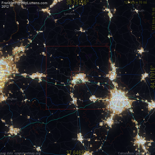
» Earth at Night: Flat Maps 2012, 2016