Belle Haven night lights from space
Night Light of Belle Haven (Virginia) from space (United States) Src. Average luminocity for 10x10km area is 86.0272% and for 50x50km: 70.1193%.
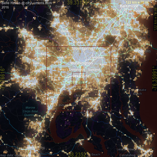
Analysis of Belle Haven night lights 2016
Square area 10x10 km:
 34.35%
90-99
21.94%80-89
12.59%70-79
9.69%60-69
11.39%50-59
4.93%40-49
5.1%30-39
0%20-29
0%10-19
0%0-9
0%Square area 50x50 km:
22.06%90-99
15.26%80-89
9.84%70-79
12.38%60-69
10.12%50-59
6.77%40-49
3.96%30-39
4.63%20-29
4.69%10-19
5.6%0-9
4.7%Clear (daylight) street map image can be seen on geolist.org.
Map coordinates:
39° 19' 52.9" North, 77° 45' 58.2" West
38° 47' 7.4" North, 77° 3' 46.9" West
38° 14' 6.7" North, 76° 21' 35.7" West
Some cities around Belle Haven sort by population:
• Alexandria
2.6 km =1.6 mi,  32°
32°
• Rose Hill
4.3 km =2.7 mi,  274°
274°
• Oxon Hill
6.7 km =4.2 mi,  72°
72°
• Glassmanor
6.7 km =4.2 mi,  56°
56°
• Fort Hunt
5.9 km =3.7 mi,  175°
175°
• Hybla Valley
4.5 km =2.8 mi,  202°
202°
• Groveton
2.7 km =1.7 mi,  223°
223°
• Huntington
1 km =0.6 mi,  318°
318°
4746457 (p: 6,518)
Sources (retrieved 2019-11-25):
» Earth at Night: Flat Maps 2012, 2016