Fort Payne night lights from space
Night Light of Fort Payne (Alabama) from space (United States) Src. Average luminocity for 10x10km area is 43.0105% and for 50x50km: 5.1102%.
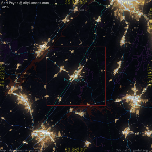
Analysis of Fort Payne night lights 2016
Square area 10x10 km:
 4.2%
4.2%90-99
5.77%80-89
9.79%70-79
8.57%60-69
6.99%50-59
3.85%40-49
4.55%30-39
7.52%20-29
9.97%10-19
32.87%0-9
5.94%Square area 50x50 km:
0.22%90-99
0.28%80-89
1.08%70-79
0.84%60-69
0.73%50-59
0.58%40-49
0.65%30-39
1.02%20-29
1.26%10-19
4.12%0-9
89.2%Clear (daylight) street map image can be seen on geolist.org.
Map coordinates:
35° 1' 19.5" North, 86° 25' 22.2" West
34° 26' 39.3" North, 85° 43' 10.9" West
33° 51' 44.6" North, 85° 0' 59.7" West
Some cities around Fort Payne sort by population:
• Rome
55 km =34.2 mi,  112°
112°
• Gadsden
54.6 km =33.9 mi,  208°
208°
• Albertville
49 km =30.4 mi,  246°
246°
• Scottsboro
38.4 km =23.9 mi,  311°
311°
• Boaz
49.2 km =30.6 mi,  236°
236°
• Guntersville
53.6 km =33.3 mi,  259°
259°
• LaFayette
49.5 km =30.8 mi,  54°
54°
• Rainsville
13 km =8.1 mi,  295°
295°
4062861 (p: 14,150)
Sources (retrieved 2019-11-25):
» Earth at Night: Flat Maps 2012, 2016