Gadsden night lights from space
Night Light of Gadsden (Alabama) from space (United States) Src. Average luminocity for 10x10km area is 71.7885% and for 50x50km: 14.0475%.
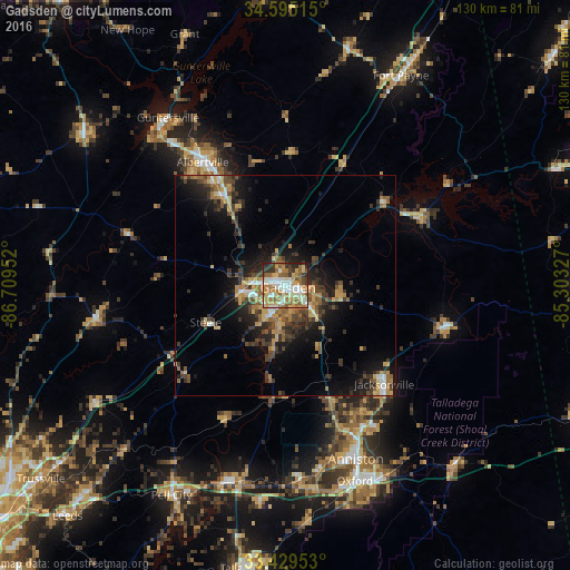
Analysis of Gadsden night lights 2016
Square area 10x10 km:
 16.08%
90-99
15.21%80-89
11.19%70-79
12.24%60-69
17.13%50-59
9.97%40-49
4.55%30-39
6.99%20-29
6.47%10-19
0.17%0-9
0%Square area 50x50 km:
1.25%90-99
1.32%80-89
1.88%70-79
2.06%60-69
2.69%50-59
1.88%40-49
2.51%30-39
3.68%20-29
3.91%10-19
8.5%0-9
70.32%Clear (daylight) street map image can be seen on geolist.org.
Map coordinates:
34° 35' 42.5" North, 86° 42' 34.3" West
34° 0' 51.6" North, 86° 0' 23" West
33° 25' 46.3" North, 85° 18' 11.8" West
Some cities around Gadsden sort by population:
• Albertville
33.8 km =21 mi,  326°
326°
• Jacksonville
31.8 km =19.8 mi,  134°
134°
• Saks
38.3 km =23.8 mi,  156°
156°
• Boaz
25.4 km =15.8 mi,  324°
324°
• Rainbow City
7.4 km =4.6 mi,  206°
206°
• Southside
10.1 km =6.3 mi,  188°
188°
• Attalla
7.6 km =4.7 mi,  276°
276°
• Glencoe
9.3 km =5.8 mi, 133°
4063619 (p: 36,084)
Sources (retrieved 2019-11-25):
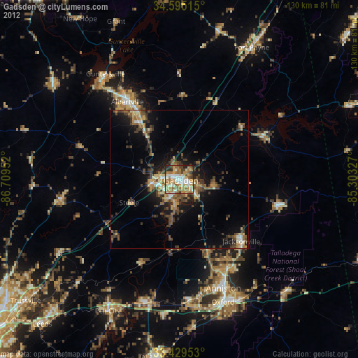
» Earth at Night: Flat Maps 2012, 2016